Hiking Vermont’s Tallest Mountain
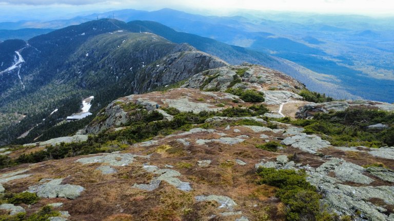
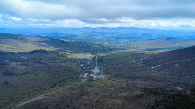
The beauty of a clear day ontop of the ridgeline of Mount Mansfield, Vermont. You could see for miles today! I sent my drone up to get this picture of me hiking at the top...see if you can find me with my blue backpack.
What a day! My legs are going to feel this one. Over 2,500 vertical feet ascending, up the Long Trail, to the top of Mount Mansfield, and then all the way back down on the cliff trail and gondolier. This was a bit of an impromptu hike that took me about three hours. The morning weather had low clouds, socking in the summit, but that all clear in the afternoon. So the hike was on, although I still didn't have a finalized plan until after I parked.
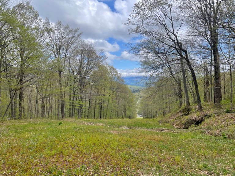
I parked at the Stowe Mountain Resort, here in the Green Mountains of Vermont. I started up the ski slopes, passing a beautiful waterfall, before deciding to veer off through the forest and try to connect to the Long Trail. The Long Trail spans the entire north to south distance of the state of Vermont. This is the part of the trail that heads up to the roof of Vermont, its highest peak, Mt Mansfield.
Once I made it through the wildflower filled forest, I decided to keep heading up the Long Trail to the summit. I was a little pushed for time, as I had to pick up the kids from school later this afternoon, and I wasn't really expecting to see a lot of snow. Turns out both of those things were a big factor in how the rest of the hike went.
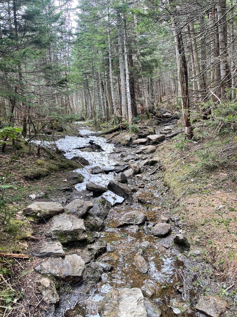
Once I hit the high elevation conifer forest, there was a lot of snow on the trail. It had water running under it, so there were many times when I would break through the snow. Luckily I had very good hiking boots on, and never twisted my ankle or anything. My wool socks soaked up most of the ice getting into my boots and melting. Coming down off the ridgeline was also very tough with the snowpack. There were a couple of slip and slides, but also now injuries on the way down. I probably saw seven other people on my entire hike, but I had cell service just in case I needed help.
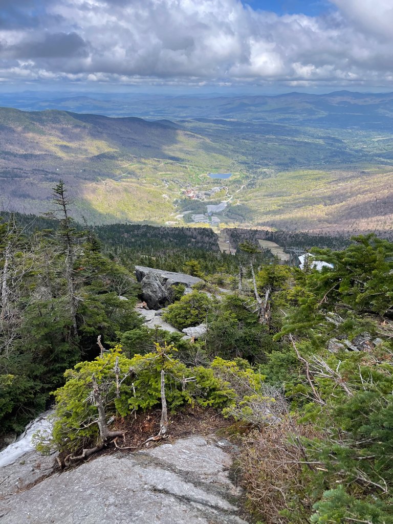
At the top, the view opened up for miles and miles. I could see the Long Trail, following the ridgeline south, down the spine of the Green Mountains. I could even see Lake Champlain and Stave Island off the west. New York and the Adirondacks were beyond that. It was the clearest view I've ever had from up here.
I rushed down as fast as I could, while still being safe, and got to the car just in time to go pick up the kids. I'm feeling like it might be an early bedtime for me tonight after that fast downhill. But it feels like I really did something special today.
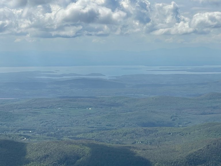
View looking west from the top of Mount Mansfield. You can see all the way to Lake Champlain and New York beyond. Stave Island is near the middle.
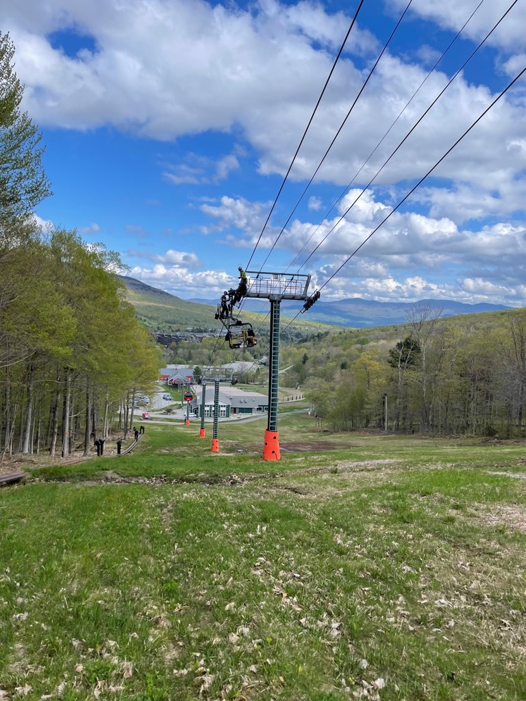
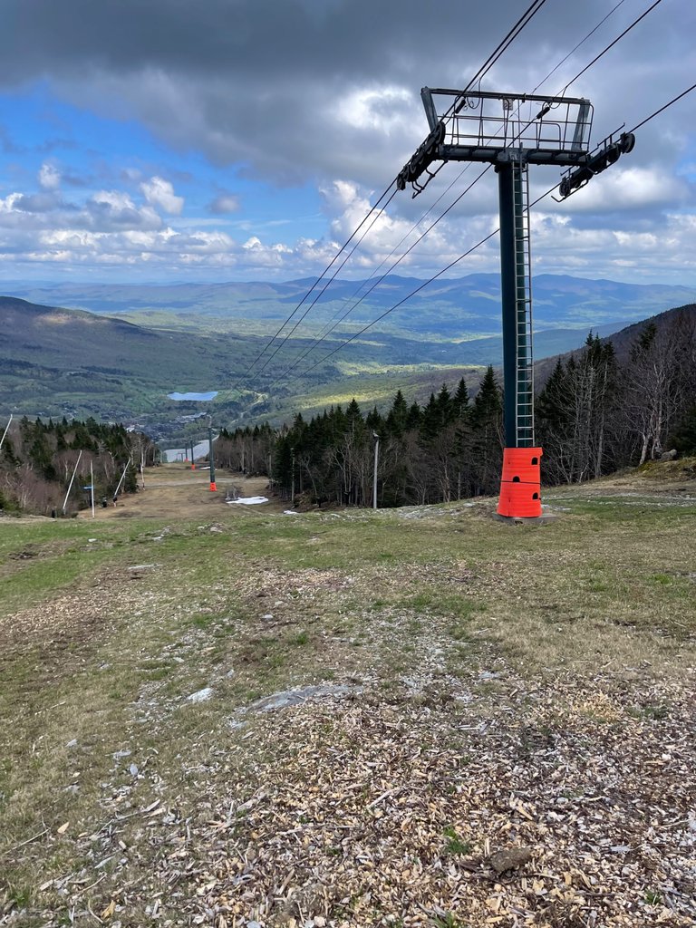
This was nearing the end of my long, arduous walk down the mountain. I followed the ski trails down and came across these two guys working high up on the gondola.
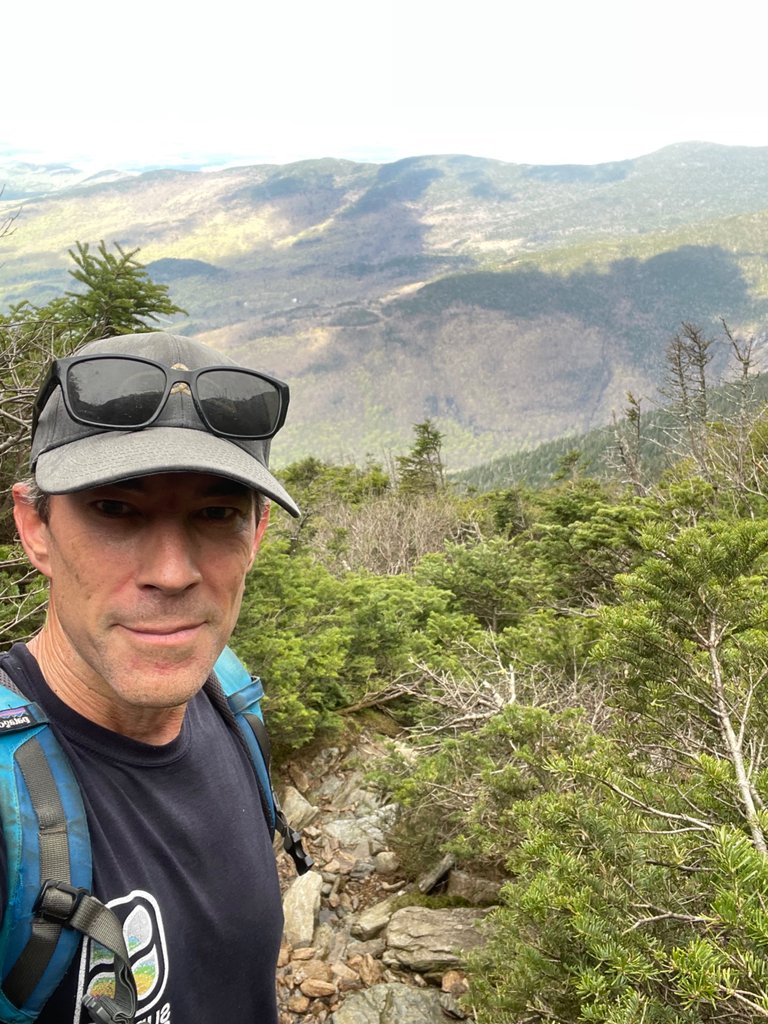
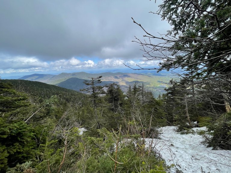
Most of these selfies were just an excuse for me to stop and catch my breath. Every once in a while on the way up, there would be a break in the trees which gave a view down to Smuggler's Notch below.
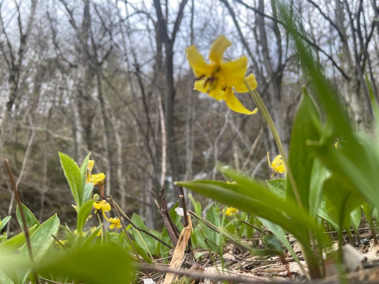
These beautiful flowers were all over inside the forest when I bushwhacked through to intersect the Long Trail.
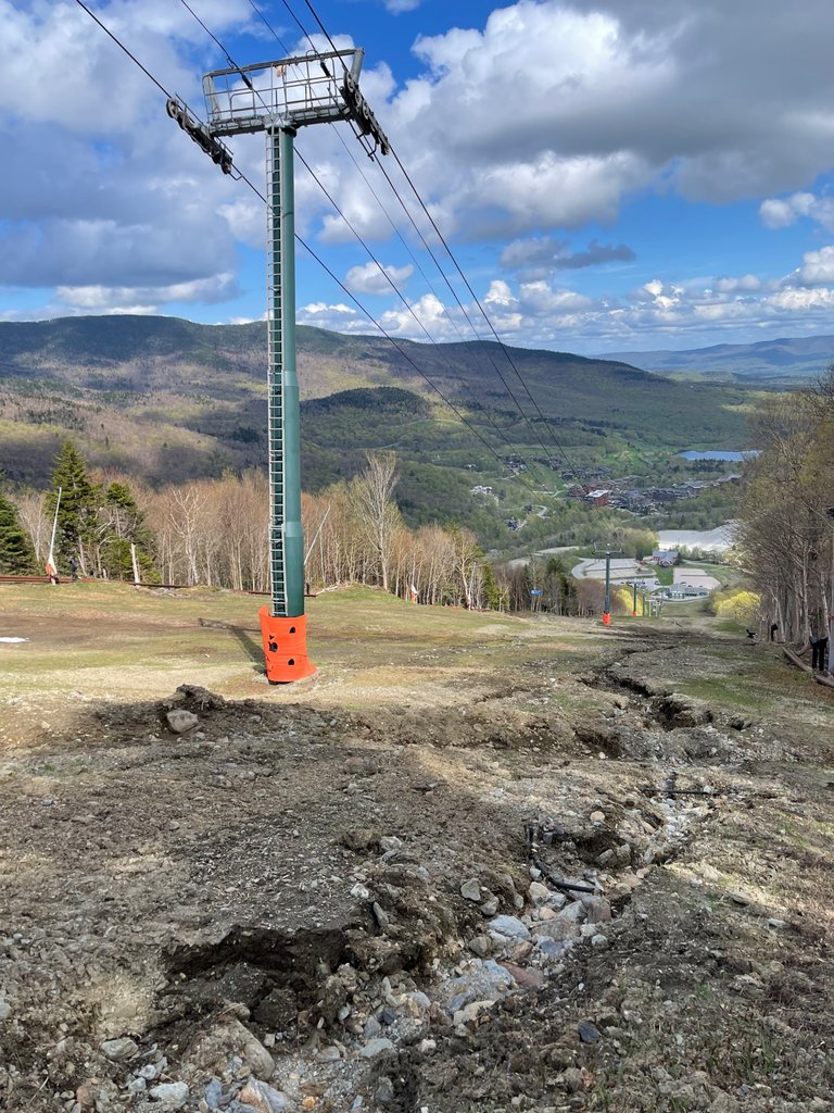
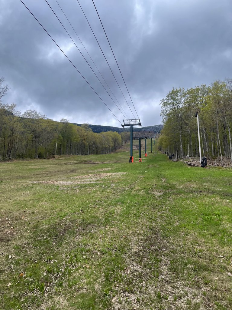
Looks like the ski resort has some work to do during the off-season. A few washouts made for a muddy hike down.
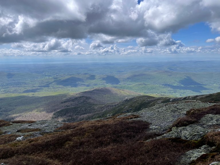
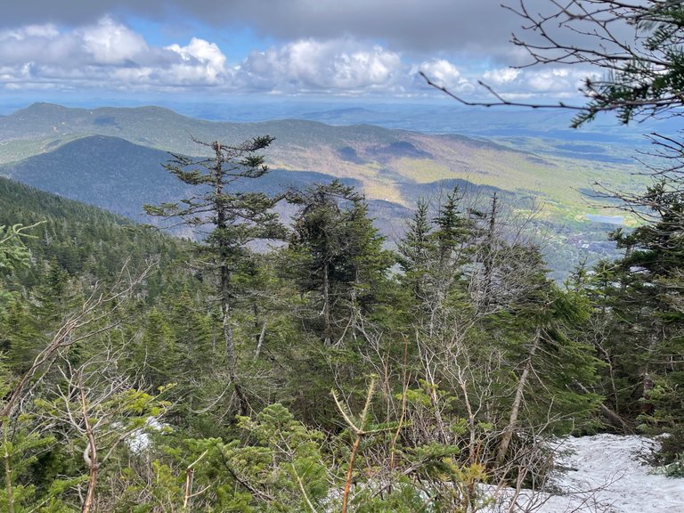
Earlier in the day the summit of Mount Mansfield was engulfed in clouds. I was pleasantly surprised when I got to the top, how clear the view was.
It was so nice to bust out of the snowy forest up to the open ridgeline. It made the vast views much more dramatic having come out of a dense forest where you were just watching your next step because you might break through the snow.
Looking east toward the town of Stowe, Vermont.
This was the last photo I took before getting back to the car. I wanted to take a moment to take in my full accomplishment, looking back towards the summit.
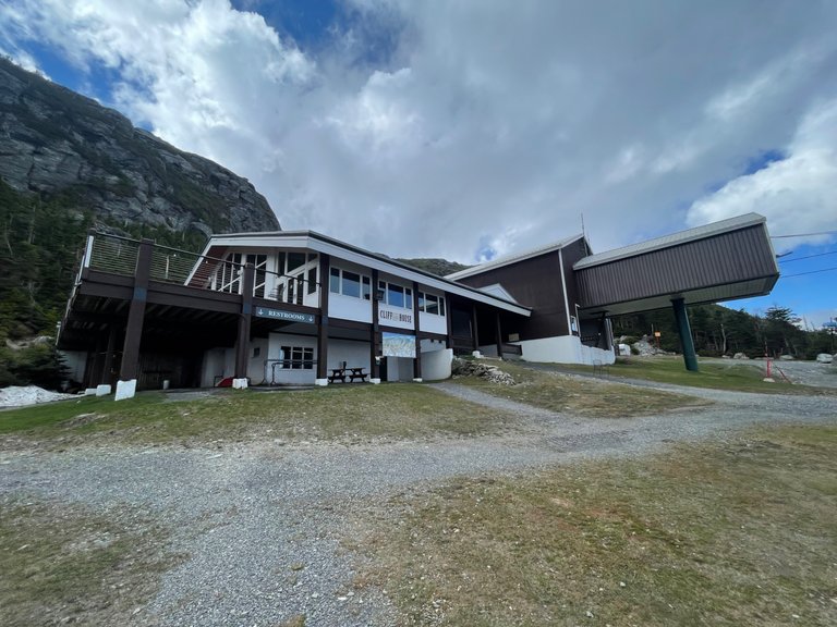
The cliff house at the top of the gondola is usually my high point while snowboarding, however today I had made it down lots of treacherous snow covered boulders by the time I arrived here.
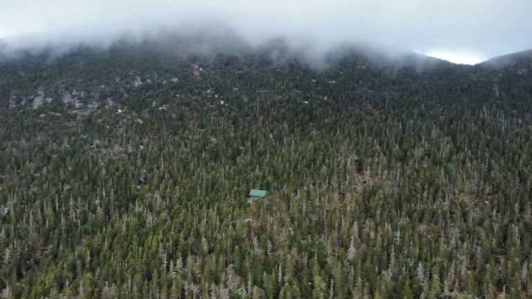
This is another drone shot of a overnight shelter I found in the midst of a massive, high elevation, conifer forest near the top of Mount Mansfield. This is where the Long Trail, Hellbrook trail, and Profanity trail all meetup.
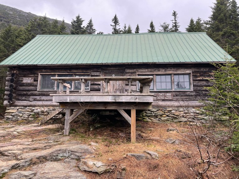
What a cool find! In the middle of the forest, where a few trails meet, I found this cool overnight shelter, called Taft Lodge. Many a through-hikers have stayed here after summiting Mt Mansfield that day. Not a bad place to rest some weary leg muscles.
Finally, cresting the top of the trail, the view opens up to a wide open expanse. What a relief!
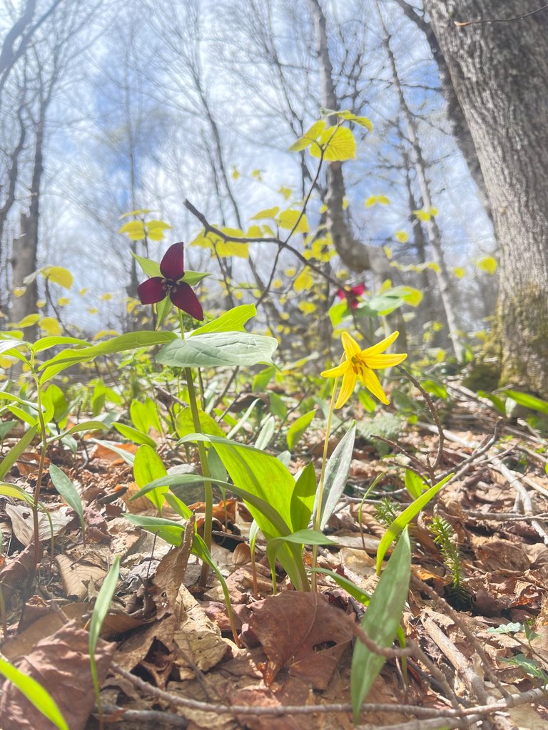
Blooming trillium in the forest. I knew there was a reason I went bushwhacking between trails today!
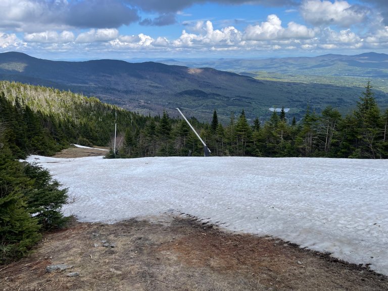
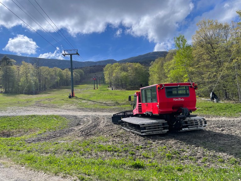
Coming down the ski slopes I had to slip and slide where big patches of snow still remained. It was actually much easier than I expected and a welcome respite on my knees. I didn't have to worry about falling through the ice with each step, like I had in the forest.
I can almost see my car from here. It looks so close, yet so far at the same time.
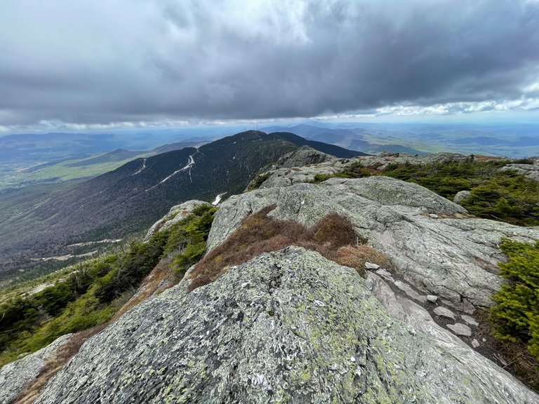
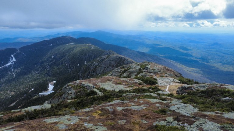
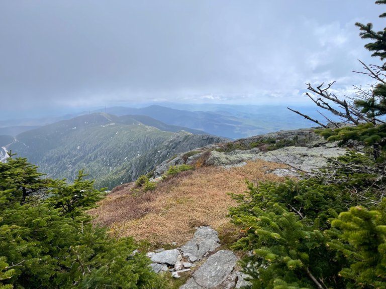
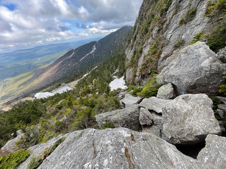
The iconic Long Trail follows the ridgeline here between the chin and the nose of Mount Mansfield, Vermont's tallest peak.
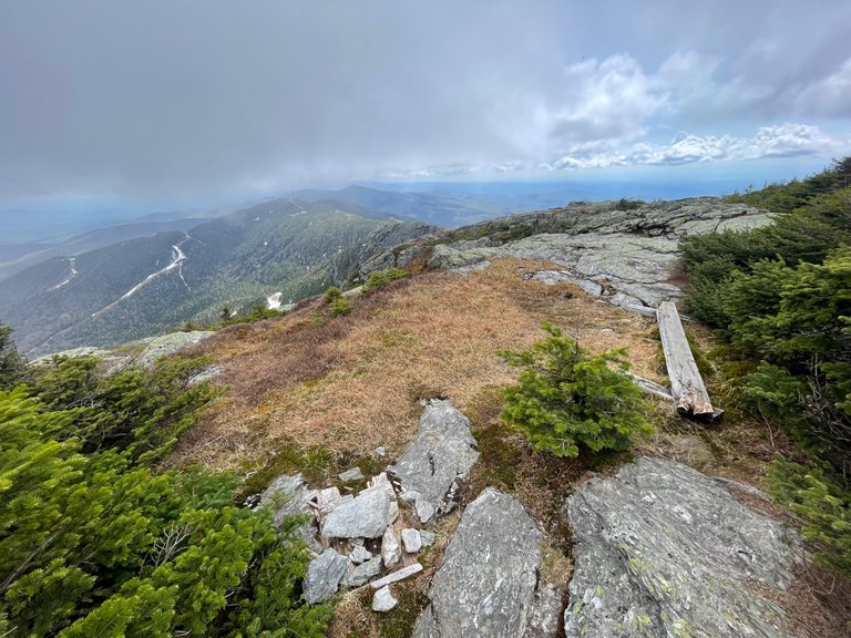
An old wooden plank shows the path here. It is designed to keep hikers off of the sensitive high-elevation plants growing in the middle of the picture.
Another little peek-a-boo view while heading up the final stretch of the climb.
This was on the way up, I was deciding which way to go, and how far to go. I ended up veering off to the right, through the forest, to connect with the long trail. And all the way up!
The trees got very shot and stunted up here near the summit. The trail was felt more like rock climbing than hiking, but the views were magnificent.
High above smuggler's notch.
One of the washouts that Stowe resort will need to fix before next ski season. I was snowboarding over this not too long ago.
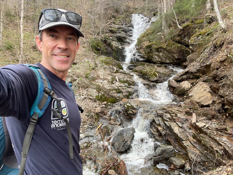
I found a very cool waterfall right at the bottom of Chin Clip trail.
Coming down the cliff trail from the top of the ridge to the Cliff House which you can see below.

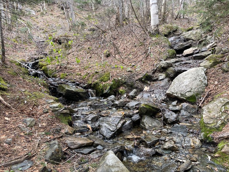
Hard to get a good scale of the rock climbing necessary to head up the trail here. There were also little waterfalls cascading down the trail, using it as a path for their makeshift river.
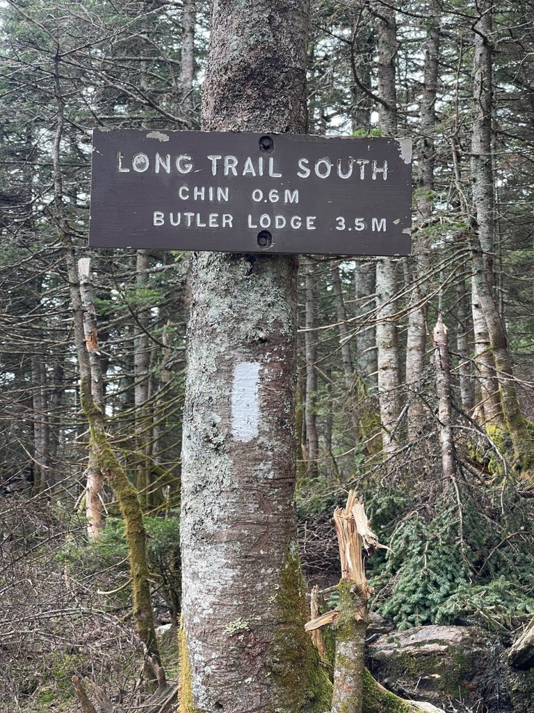
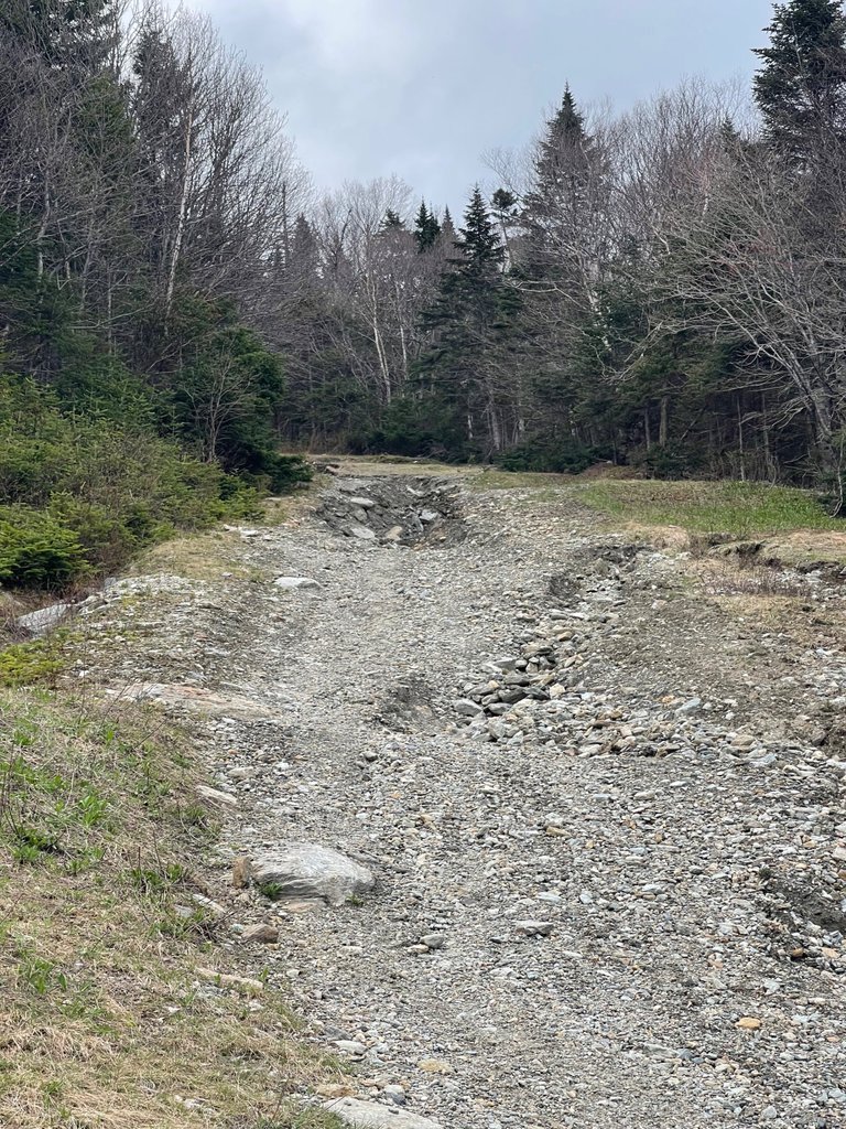
Following the white marks of the Long Trail. This is a part of the trail I had never been on before.
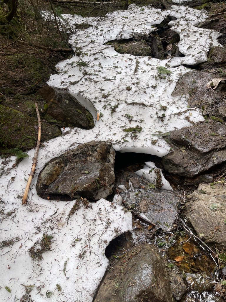
You can see how if you step on the snowpack that it might hold you... or you might break through. It made for slow going.
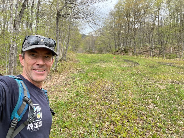
I know this is from the very beginning because my shirt isn't even sweaty yet.
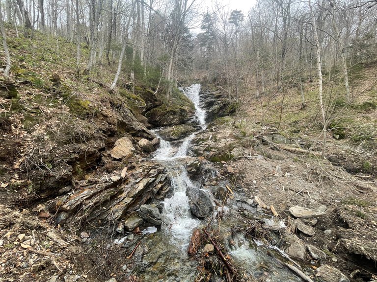
Waterfalls always deserve a stop and enjoy while hiking.
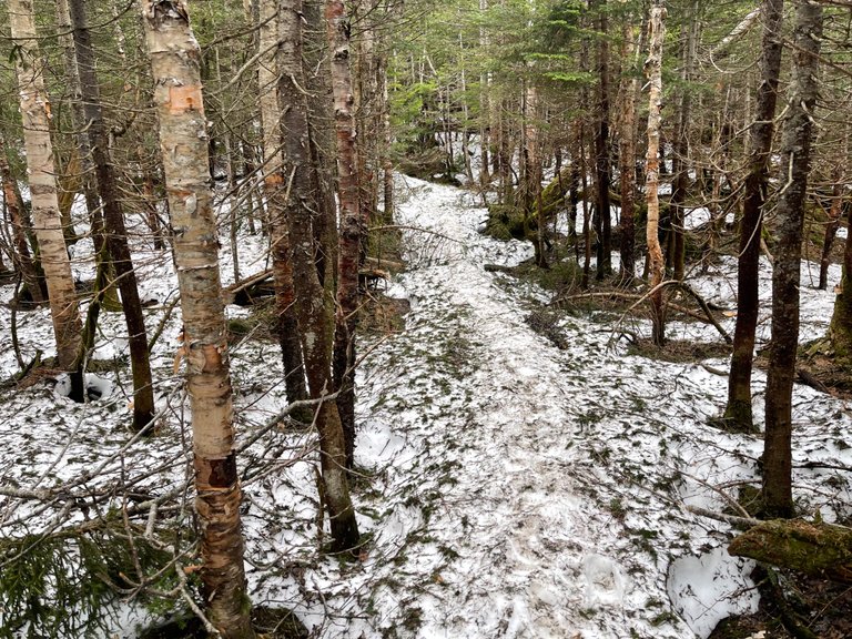 I hadn't really expected this kind of snow on my hike today, but luckily I had some really good marmot hiking boots and wool hiking socks on.
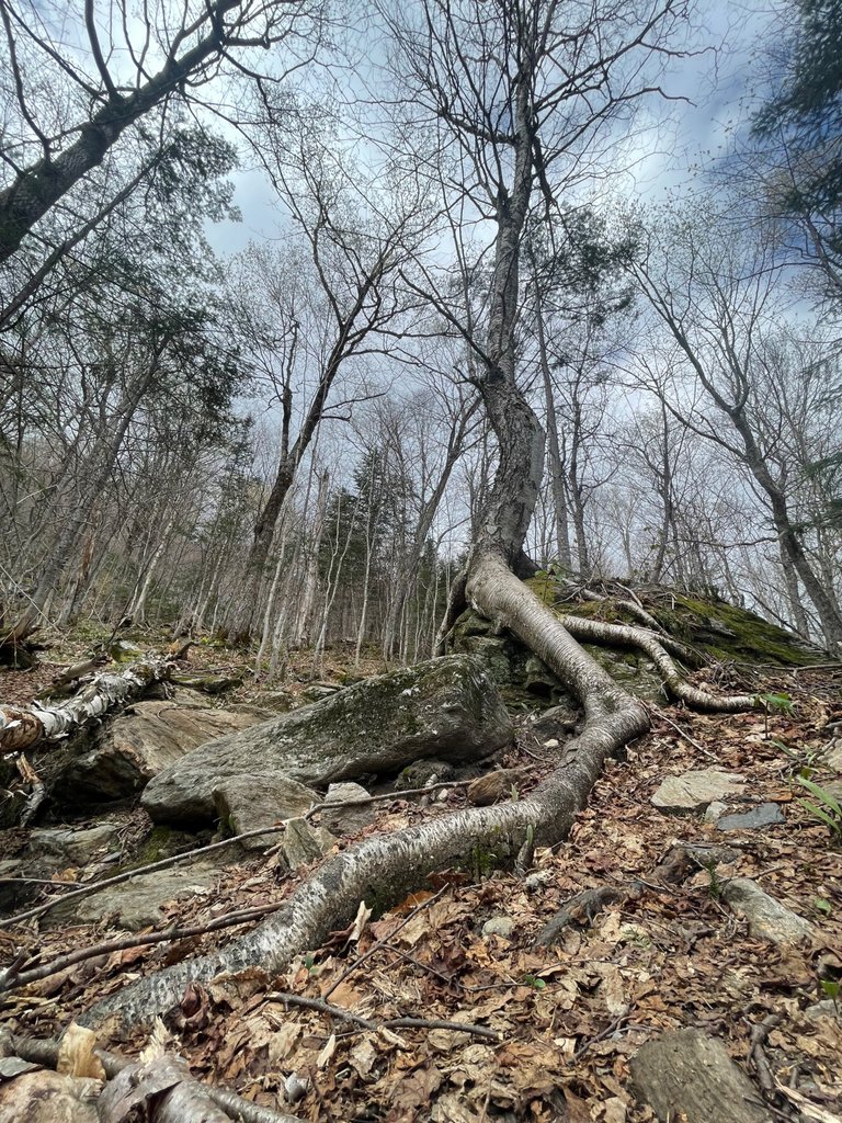
I thought this tree had some cool roots. I liked the way it wrapped around this rock next to the trail.
These trees only got their leaves about a week ago. I really does change the view! Welcome spring.
Getting into the snow on my way up.
Is that the trail or is that a waterfall? Oh, its both.
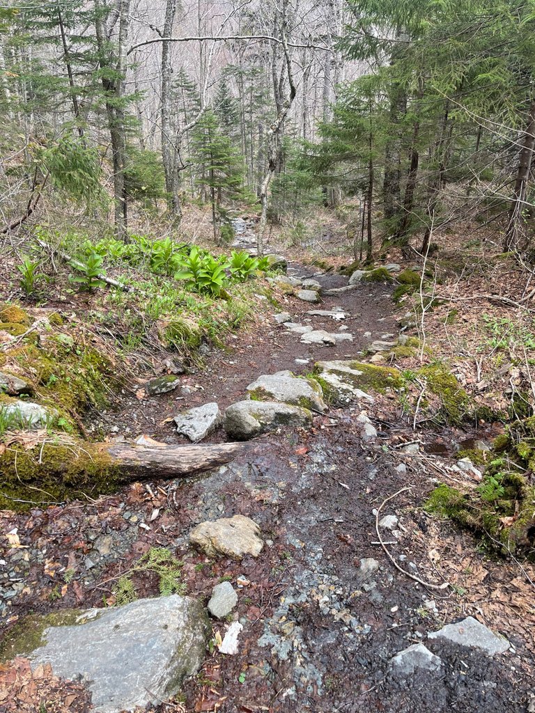
I was pretty happy after bushwhacking through the forest, to find the Long Trail. I guess now I should take it all the way up!
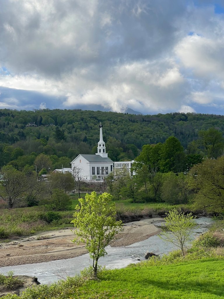
Its always hard not to stop and take a photo of downtown Stowe as I'm driving down from the mountain. This is the day before the repaired steeple gets put back up on the iconic Stowe Community Church.
I hope you enjoyed the pictures and the stories.
As always, get out there and enjoy the outdoors, take photos, and post!
-Dai Mar
You can check out this post and your own profile on the map. Be part of the Worldmappin Community and join our Discord Channel to get in touch with other travelers, ask questions or just be updated on our latest features.
What an incredible hike and even more incredible photos! That view from the summit is absolutely breathtaking. Worth every step, I bet! I love how you kept it spontaneous yet managed such a solid route. And that drone shot? Epic! Can’t believe you squeezed this in before school pickup.
https://www.reddit.com/r/vermont/comments/1kq9osu/hiking_vermonts_tallest_mountain/
This post has been shared on Reddit by @x-rain through the HivePosh initiative.
Hiya, @lizanomadsoul here, just swinging by to let you know that this post made it into our Top 3 in Travel Digest #2566.
Your post has been manually curated by the @worldmappin team. If you like what we're doing, please drop by to check out all the rest of today's great posts and consider supporting other authors like yourself and us so we can keep the project going!
Become part of our travel community:
I have never visited Vermont, but I have always heard it is great for hiking. Your photos confirm this! I am surprised that there is still snow up there at this time of year. I am glad you only got wet socks walking through it and nothing more serious like a twisted ankle, which could really suck on the way back. Thanks for sharing!
Thanks so much. Glad you enjoyed the post. I was definitely thinking of how much a twisted ankle would suck. I was pretty glad I had chosen to wear those hard core hiking boots.
I have been caught on hikes with the wrong footwear on a number of occasions, and it add a whole lot more stress. Good boots not only can save an ankle, but also great from peace of mind.
Wow , what a great hike!
Such stunning countryside to see.
I love seeing the snowy mountains without the snow lol...
Not just because there's no cold snow, but I love seeing whats underneath too.
Thanks so much for sharing!
Good job 👍🏽
Congratulations @dtam! You have completed the following achievement on the Hive blockchain And have been rewarded with New badge(s)
Your next target is to reach 11000 upvotes.
You can view your badges on your board and compare yourself to others in the Ranking
If you no longer want to receive notifications, reply to this comment with the word
STOP