Flying To Take Pictures
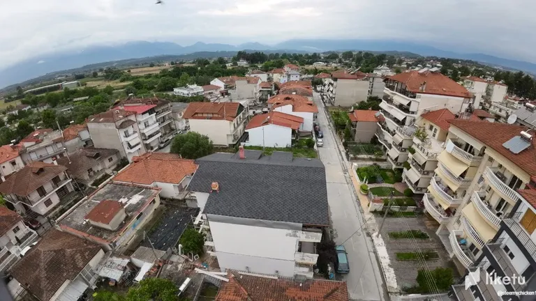
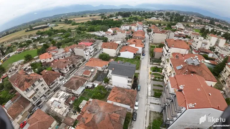
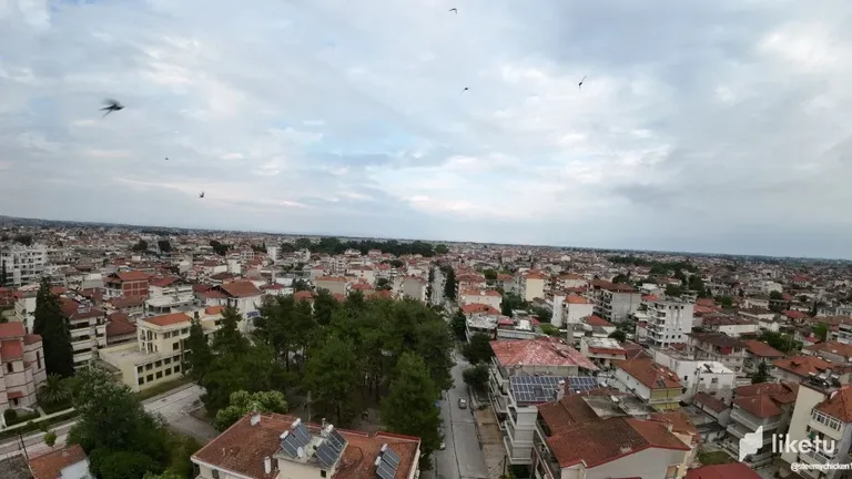
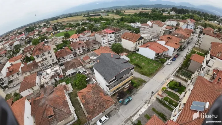
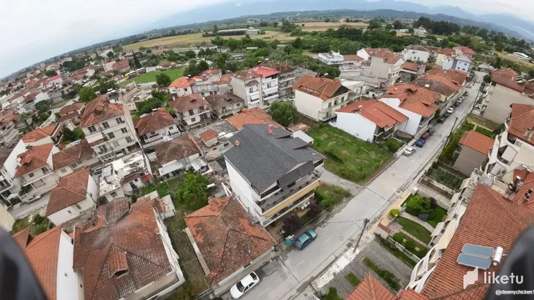
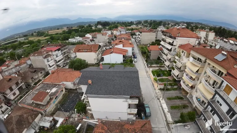
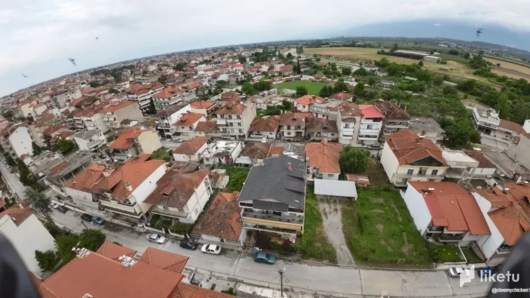
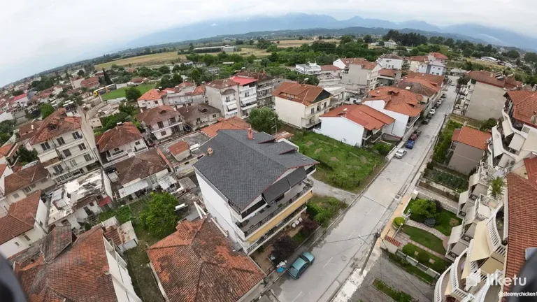
The past few days, the weather hasn't been reminding me of summer! The sudden changes in weather, with rain followed by the sun coming out again, have been quite chaotic. I suppose it's due to global warming. Because of this, it's been difficult to decide whether to go out, stay inside, or find a place that can protect me from the rain. So, I thought if I stay indoors, I could have some fun with the drone, explore different areas, take some pictures, and find interesting houses.
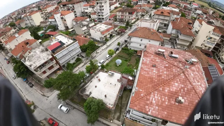
That's exactly what I did, starting with my own neighborhood and house. What I found interesting is that most of the houses use solar water heaters. I even came across a three-story building that had six solar water heaters. It's great to see more and more people installing solar panels for electricity consumption!
I mainly focused on my house since I'm making some upgrades to improve its energy efficiency. I'll post about it once it's done. I also really like how well-insulated my roof is!
For my flights i am using
Drone:DJI Avata
Specs
Camera
Sensor 1/1.7-inch CMOS Effective Pixels: 48 MP
Lens FOV: 155°
Equivalent Focal Length: 12.7 mm
Focal Length: 2.34 mm
Aperture: f/2.8
Focus Mode: FF
Focus Range: 0.6 m to ∞
ISO Range
100-6400 (Auto)
100-25600 (Manual)
Shutter Speed
Video: 1/8000-1/50 s
Photo: 1/8000-1/50 s
Still Photography Mode
Single Shot
Max Image Size
4000×3000
Photo Format
JPEG
Video Resolution
With DJI Goggles 2:
4K@30/50/60fps
2.7K@30/50/60/100/120fps
1080p@30/50/60/100/120fps
Model
QF2W4K
Takeoff Weight
Approx. 410 g
Dimensions (L×W×H)
180×180×80 mm
Diagonal Distance
120 mm
Max Ascent Speed
6 m/s (Normal Mode, Sport Mode)
Max Descent Speed
6 m/s (Normal Mode, Sport Mode)
Max Speed [1]
8 m/s (Normal Mode)
14 m/s (Sport Mode)
27 m/s (Manual Mode)
Maximum Takeoff Altitude
5000 m
Max Hover Time
Approx. 18 mins [2]
Max Flight Distance
11.6 km
Max Wind Speed Resistance
10.7 m/s (Level 5)
Operating Temperature Range
-10° to 40° C (14° to 104° F)
Transmission Power (EIRP)
FCC: < 33 dBm
CE: < 14 dBm
SRRC: < 30 dBm
Antennas
Dual Antennas, 2T2R
GNSS
GPS + Galileo + BeiDou
Hovering Accuracy Range
Vertical:
±0.1 m (with Vision Positioning)
±0.5 m (with GNSS Positioning)
Horizontal:
±0.3 m (with Vision Positioning)
±1.5 m (with GNSS Positioning)
Supported SD Cards
microSD (up to 256 GB)
For the best experience view this post on Liketu
People seems to be more informed about how to better utilize technology and energy.Solar has its place in every home today because it’s a good alternative that’s comes with no extra cost except for hoping the sun comes up, which is always dependable, except only on rainy days like this.
Great pictures
Yea and that is very good. I hope more and more people start using renewable energy sources
Fly me to the moon
#leo will fly you to the moon
The weather isn't acting normal anymore lol. This is a great activity to pass the time. Wonderful to see that more people are energy conscious and switching to renewable energy sources.
Yes and using the helmet is like flying
Looks like you had so much fun doing this. What a beautiful way of exhausting time while staying at home.
The view is great and the pictures too
Yes I fly with the drone often but not from home I will do it more now
I think solar panels are healthy form of energy. I basically feel that in a few years time, the technology will even be better than it currently is. Nice shots, I firstly thought it was shot from a helicopter or something, but the drone shots are great. How many feet in the sky did the drone fly?
It can fly up to a 5000 meters ! It's a lot
Due to the inconsistency of the weather, I rather stay indoors than go out and get drenched. Funny how umbrellas don't serve their purpose anymore 🌜.
Anywho, it must be nice playing around with the drone. There are some places where your drone wouldn't have returned to you, except it was in the size of a fly. It would most likely get destroyed.
Ps: pheww, those are so many specifications