A Visit to Lava Butte
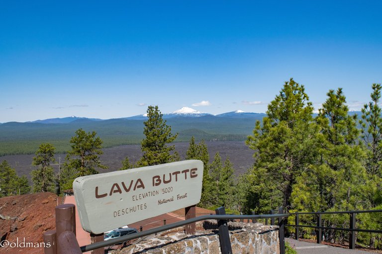
Last week on a drive to Sunriver, Oregon we decided to stop by and explore a small part of the 54,000 acre Newberry National Volcanic Monument. A 500 foot tall cinder cone named Lava Butte is right along HWY 97 as you travel north/south through Central Oregon. From the top are spectacular views of the surrounding area and the Central Oregon Cascade Mountain Range. Follow along as I share some of the shots I captured that day.
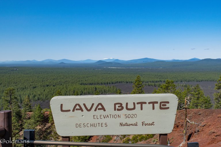
 The view of Mt Bachelor from the top.
Click images for larger view

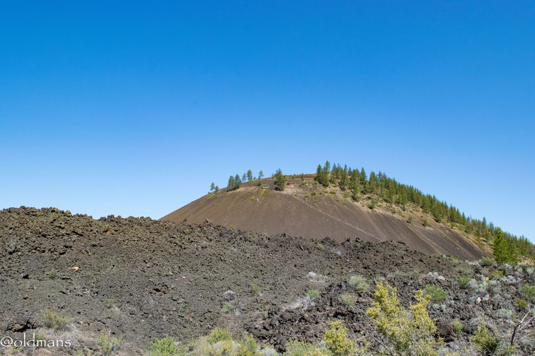
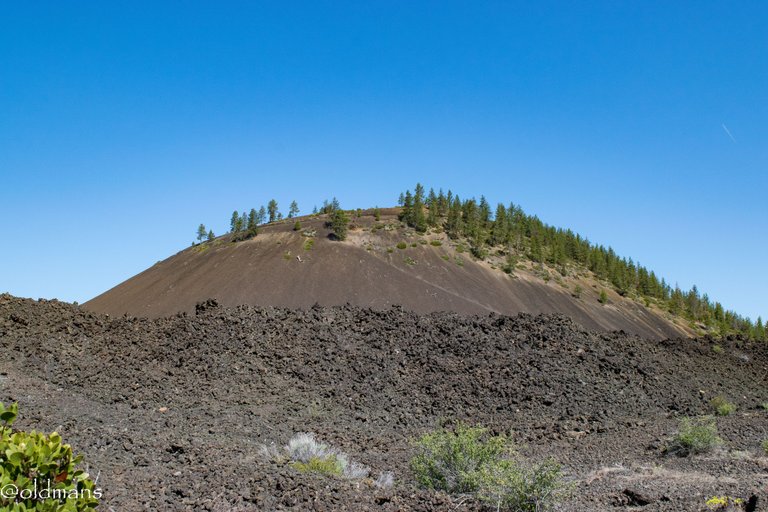
A look toward the top as we begin our ascent. It is a short drive to the top as you circle around the cone to reach the summit. A little video near the end of this post will show some of the descent.
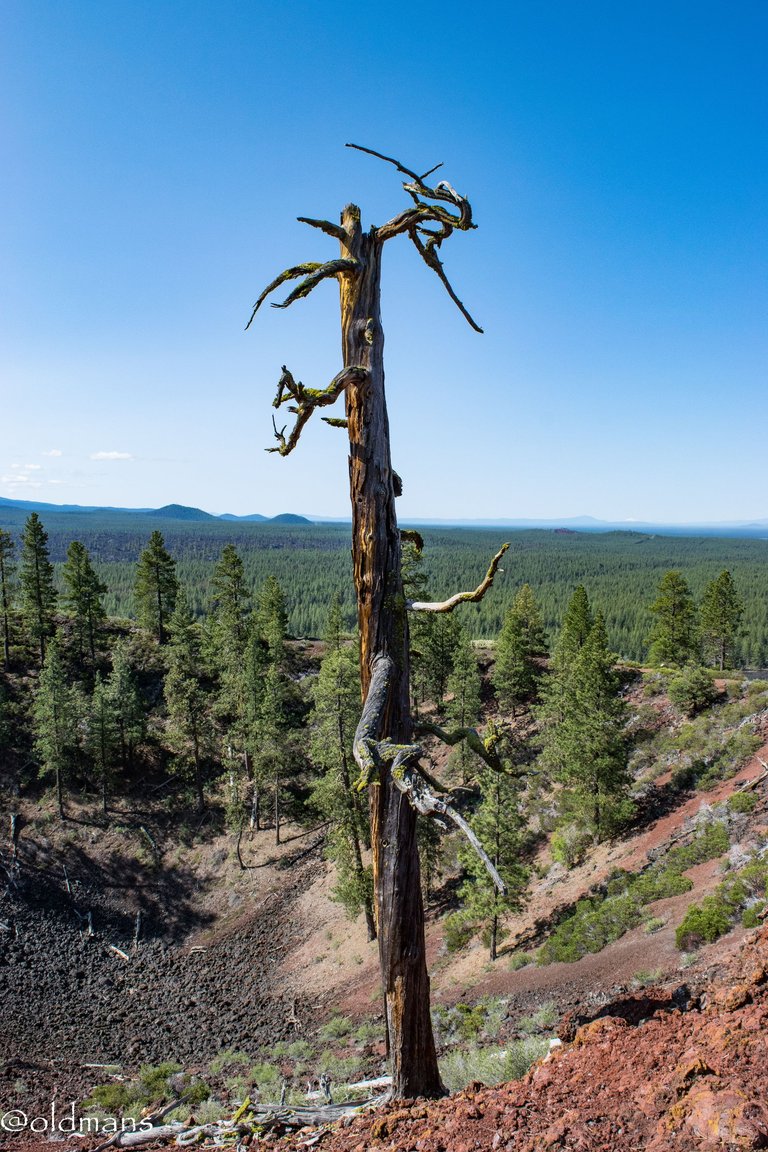 A lone sentinel stands guard over the ancient crater at the top.
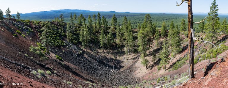 A view of the approximately 60 foot deep crater.
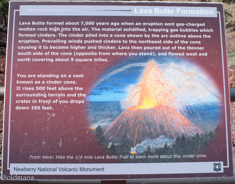 A sign board explaining the formation of the cinder cone some 7000 years ago. I'll share a couple shots later that show some of the lava flow.
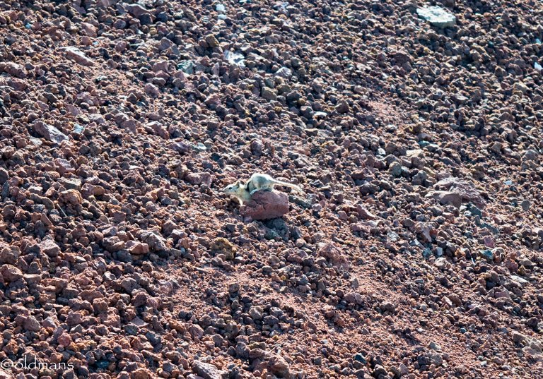
A little ground squirrel digging in the cinders. Life will find a way even in the harshest environments.
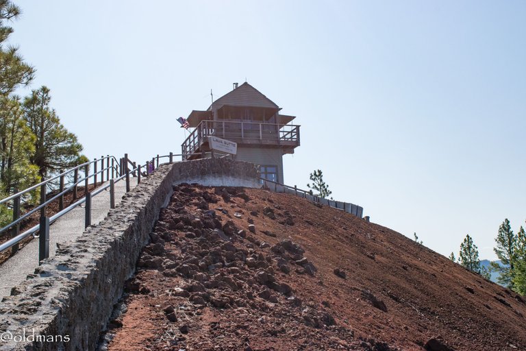
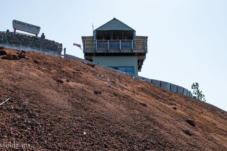
A short, but extremely steep walk, brings you to the top and the fire lookout that resides there.
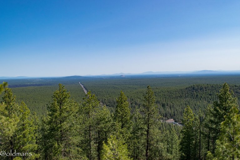
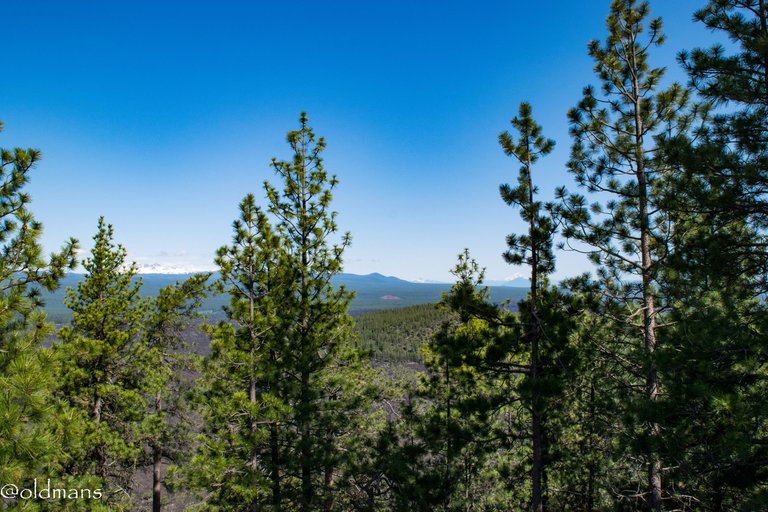
 From the top, looking southwest you get a small glimpse of the long ago lava flow. Soon it gives way to the pine forest that carpets the area leading up to the foothills of the Cascades.
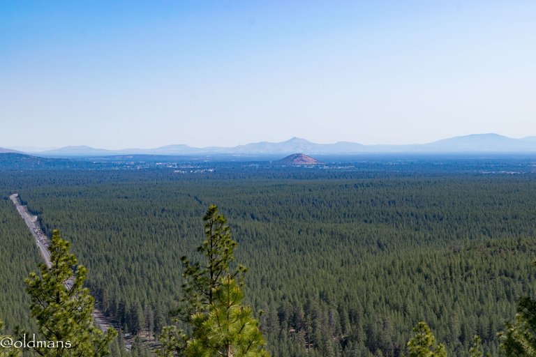
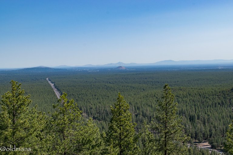
Looking north you can see HWY 97 below that leads into Bend. In the near distance you can see Pilot Butte that is somewhat in the middle of the city. Also a place for spectacular views. In the far distance is Smith Rock State Park.
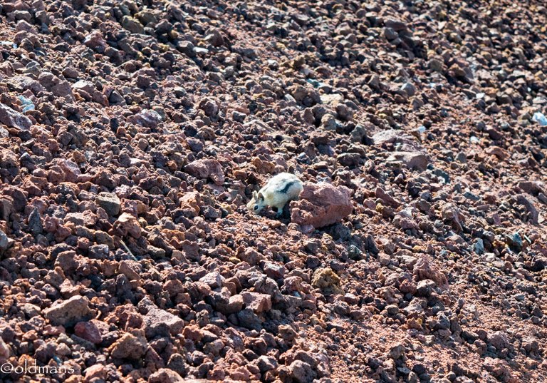
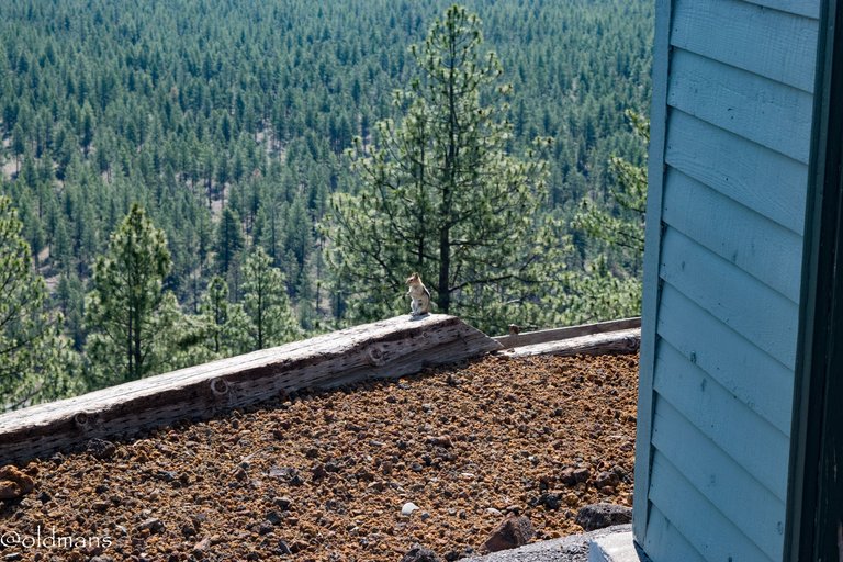 Another little ground squirrel enjoying the view. 😃
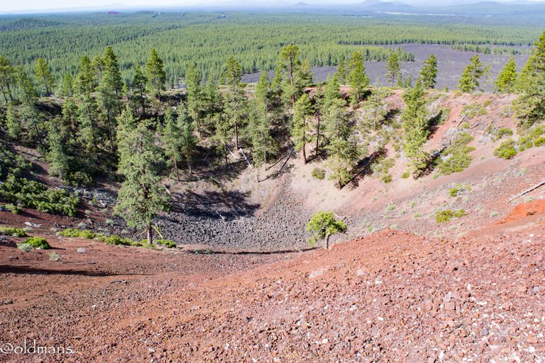 Another look down into the crater from near the fire lookout.
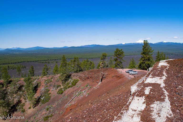
 A look to the northeast were a few more cinder cones dot the landscape. As you can see it was a somewhat hazy day due to all the prescribed burns recently. They do the controlled burns now to try and mitigate wildfires later in the season.
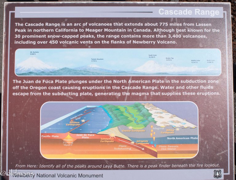 Before we take a look at some of the snow packed peaks to the west, here is a sign board explaining some facts about the Cascade Range and its formation.
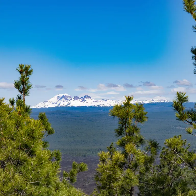
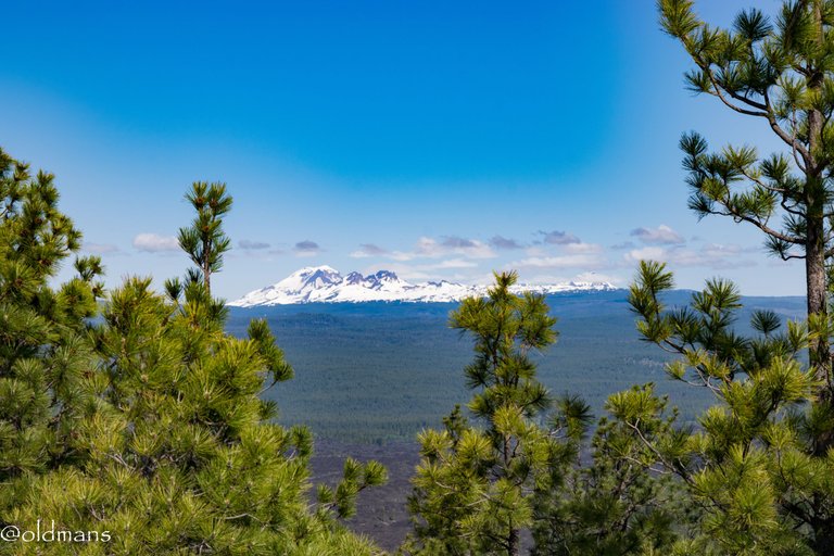 The South Sister and Broken Top.
 Some more of the lava field below. When the lava field initially covered the land it also blocked the flow of the Deschutes river and created Lake Benham. Eventually the river found a new course and the lake was drained leaving Benham Falls.
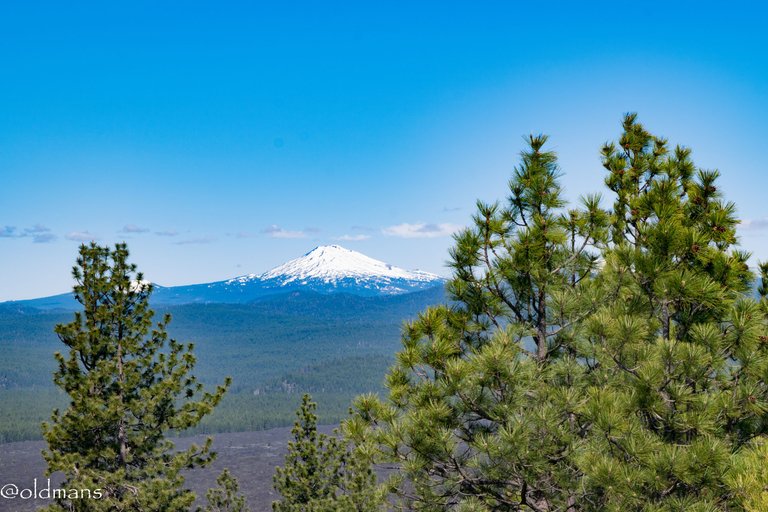 Mt Bachelor
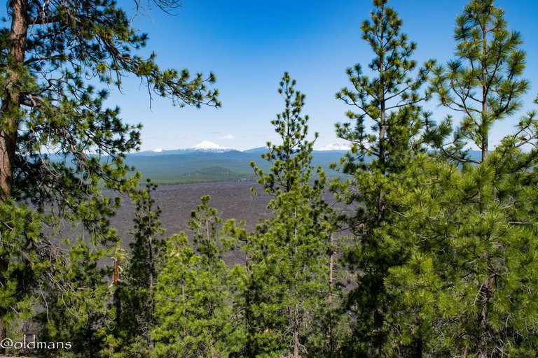 Another look at the lava field with snow capped peaks in the distance.
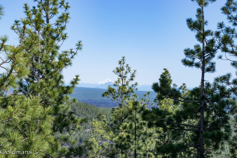 Mt Jefferson in the hazy distance.
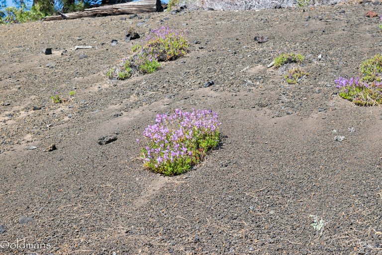 Some wildflowers on the drive down.
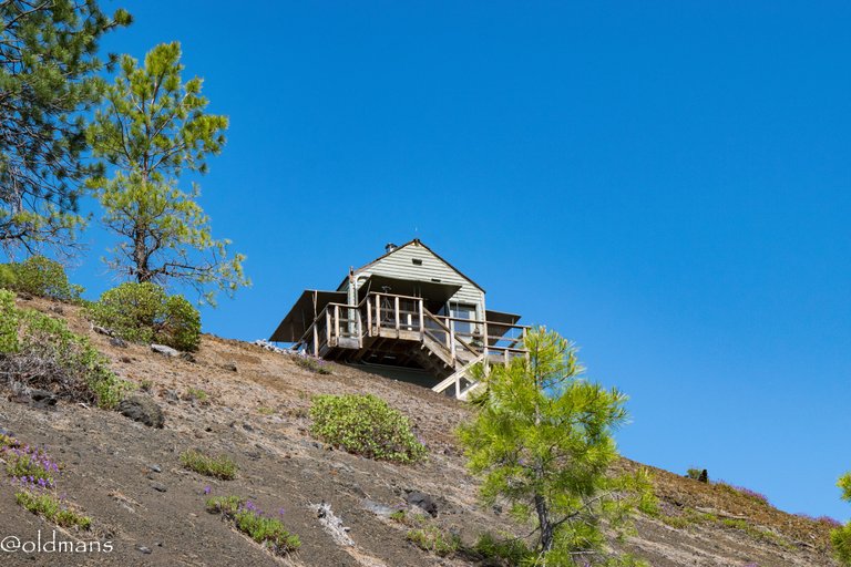 A last look at the fire lookout as we head down the road.
As promised a quick video of the descent from Lava Butte.
https://www.youtube.com/shorts/ff1MZdF3fDA
Please feel free to make comments or ask me any questions about this post.
Photos taken by me, @oldmans, with a Nikon D3300 and some Lightroom post processing.
Please visit WorldMapPin to see the locations of some of my other posts.
Thanks for looking and enjoy your day!
You can check out this post and your own profile on the map. Be part of the Worldmappin Community and join our Discord Channel to get in touch with other travelers, ask questions or just be updated on our latest features.
I’m not surprised that squirrel paused to enjoy the view. I thought the cinder was pretty until I saw the view from the top. It’s so beautiful up there.
And I’m definitely saving this for my wallpaper.
Thank you for sharing.
You are welcome!
He is lucky, he gets to live there. :)
Thank you for stopping by!
Everything looks osome 👍 This is so beautiful 😍
Yep, a very beautiful place. :)
The views are just amazing. Thanks for sharing em these places ought to be visited...
Yeah, I had drove by it enough times. It was time to finally make the journey to the top. :)
Top article with amazing photography work! 👍😀
!discovery shots
Thank you!
This post was shared and voted inside the discord by the curators team of Discovery-it in collaboration with Visual Shots community.
Discovery-it is also a Witness, vote for us here
Delegate to us for passive income. Check our 80% fee-back Program
Wow such stunning scenery and beautiful shots of it all. Thank you @oldmans for sharing your adventures with us, I do love your photography xxx
Thank you! I'm looking forward to getting out and exploring more of the monument this summer. :)
I knew it! 😄 That's a lot of geologic mayhem going on in that place. It's interesting how over time, some plants are able to inhabit the place once again.
It is pretty amazing. Most of central Oregon is all about geologic upheaval. Life does find a way to survive even in the harshest of environments. 🙂
OK ... that's a fire lookout ... makes sense that it is where it is upon reading this whole gorgeous post ... what a great journey!
There are still some active ones around. I think a lot of it is done by satellite now. I did notice there was someone up top where the public wasn't allowed to go.
It has quite impressive views, a magnificent place to visit, the nature is amazing.
Yes it does. I'm already planning a return trip to do some more exploring.
Hiya, @lauramica here, just swinging by to let you know that this post made it into our Honorable Mentions in Travel Digest #2588.
Your post has been manually curated by the @worldmappin team. If you like what we're doing, please drop by to check out all the rest of today's great posts and consider supporting other authors like yourself and us so we can keep the project going!
Become part of our travel community:
Thank you!
You are very welcome @oldmans! it was well deserved. ☀️
We are already looking forward to reading more about your adventures!
Feel free to vote our upcoming proposal (#348) Peakd.com / Ecency / Hive blog / HiveSigner
This is really beautiful and so many trees!
Do people live out there?
Bend to the north has about 100,000 people and a few more to the south in Sunriver.Here Most of it though is just a lot of open forest with nobody around.
Okay quite a decent size of population. Yes I just saw the open forest.
Great shoots to show the beauty of nature
Thank you! It was a thoroughly enjoyable visit. :)
@oldmans, I paid out 0.682 HIVE and 0.142 HBD to reward 13 comments in this discussion thread.
https://bsky.app/profile/did:plc:dlp3lhkx2cqieymcevgzatit/post/3ls77aswblk2e
https://bsky.app/profile/did:plc:dlp3lhkx2cqieymcevgzatit/post/3ls77aswblk2e
The rewards earned on this comment will go to the author of the blog post.