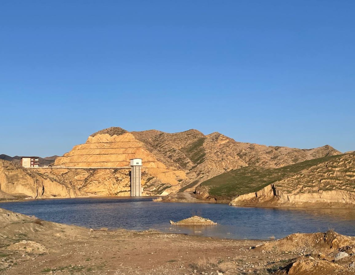
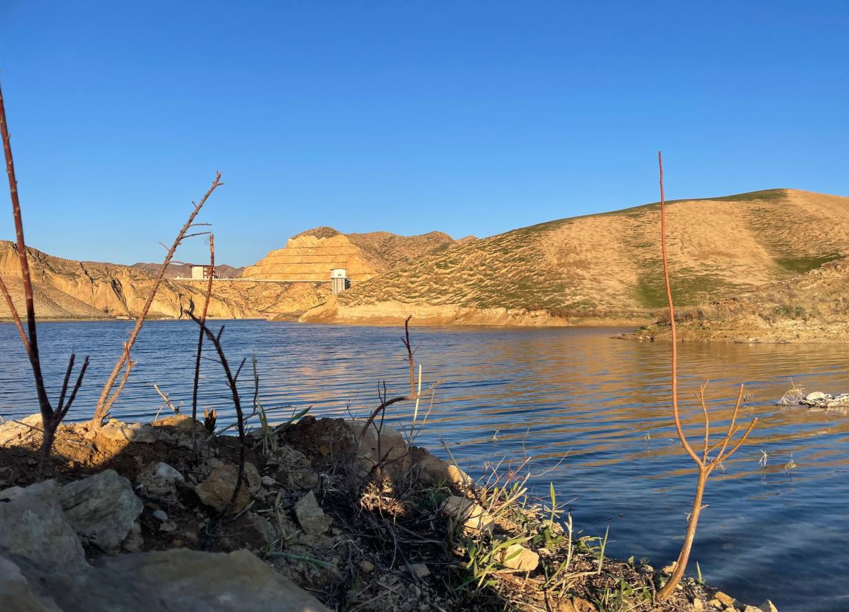
Dam and reservoir of the Abivard Dam; Deviant path
Hello to the beloved @worldmappin community! I hope you are always doing well, and today I want to introduce you more to the Abivard Dam.
Abivard Dam, located on the Zanglanloo River and originating from the mountains of the thousand mosques, was put into operation about five years ago, but due to the infrastructure that had been problematic that year, dewatering has now been stopped.
The dam is located in the southeast of Dargaz city and the mountains that are enclosed in this volume of water lead to Turkmenistan.
After a few months after the inauguration of the dam and there were high -volume rains in the spring, they noticed the leakage of one of the water entrance channels, so the dam was ordered to inject more concrete in leakage gaps.
This year we also decided to visit the dam; however, when we got close to the engineering structures, we realized that entry was prohibited.
We wanted to visit the dam again, but due to the entry prohibition from the main route, we couldn’t get close.
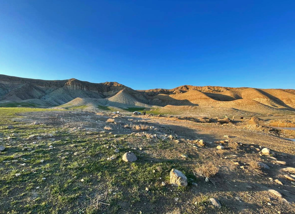
According to the guard's guidance there, we approached the hills from one of the deviant routes from the hills.
Although the route was long, it was very attractive to me.
I took a few photos as soon as they arrived. The scenery was for me, and my photography taste was too much.
In the posts of the year before, I shared you another angle.
Even though we were not more than an hour away from sunset, and we came here in a limited time to every side I would like to have the best angle.
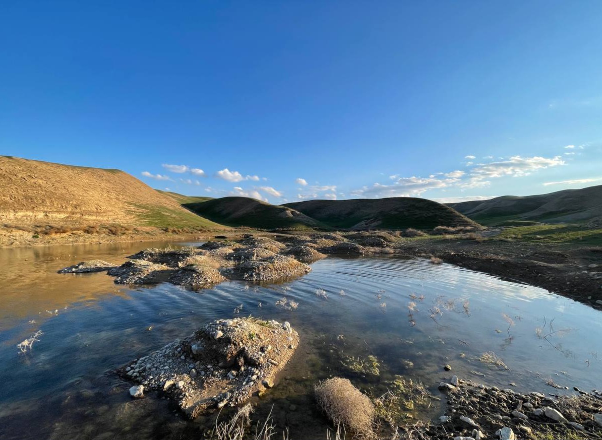
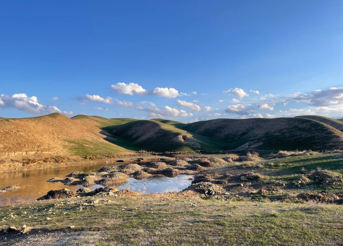
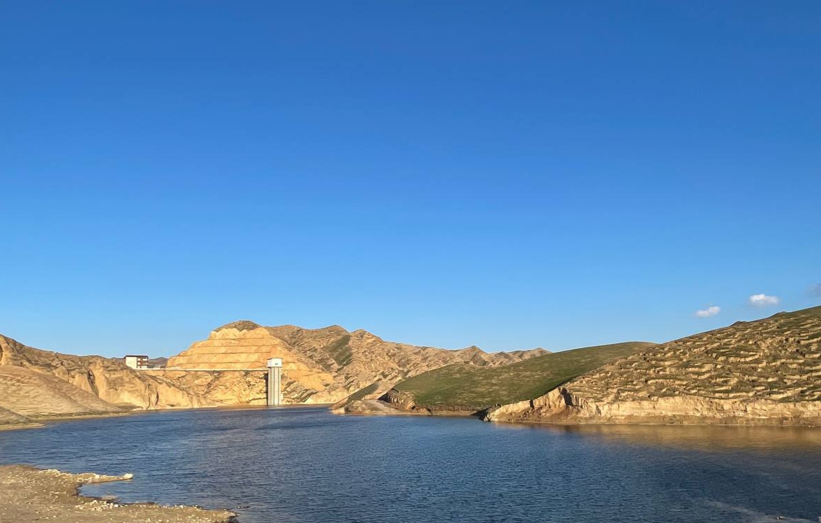
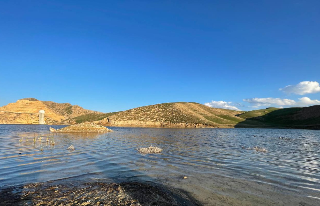
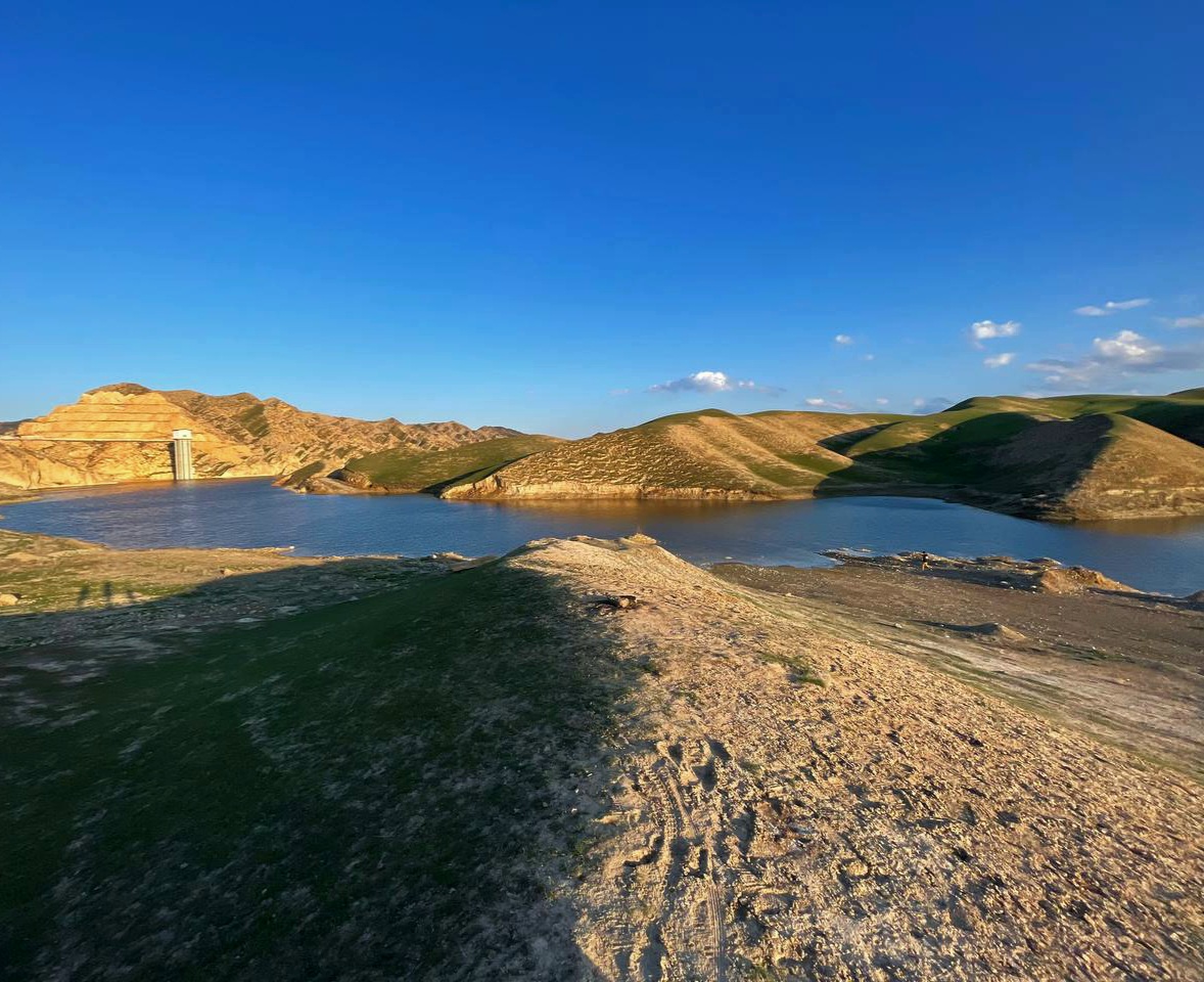
On one of the routes in the area, almost where we were, there were small hills in the water, which was very interesting to me, and at the angle of sunlight I felt I could have a beautiful photo. Perhaps these hills were a peak that was buried under water.
The blue of the sky, the hills without vegetation that are seen in the sun, yellow, the green parts of the hills, the shades of the sun on some parts of the hills, the color of the water enclosed between the dirt hills, and so on.
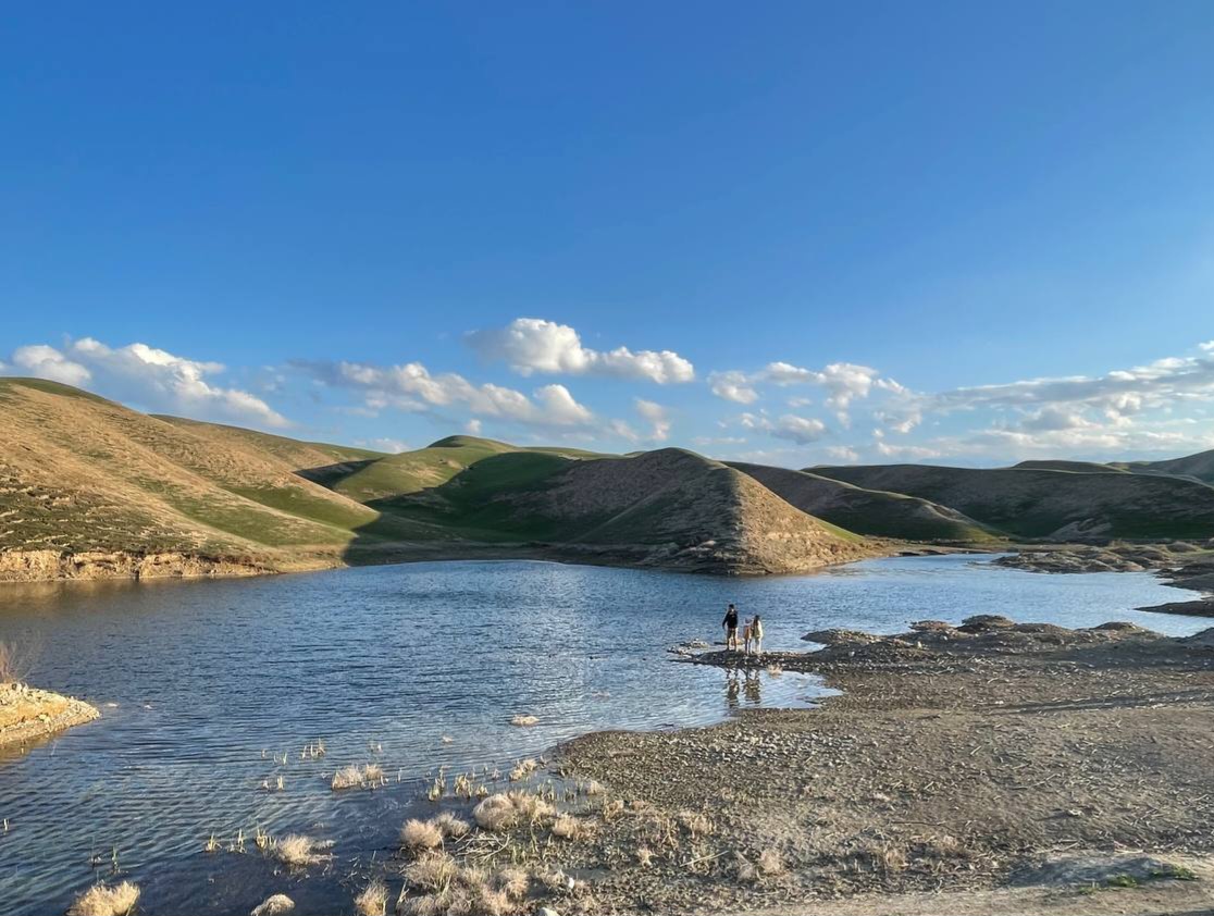
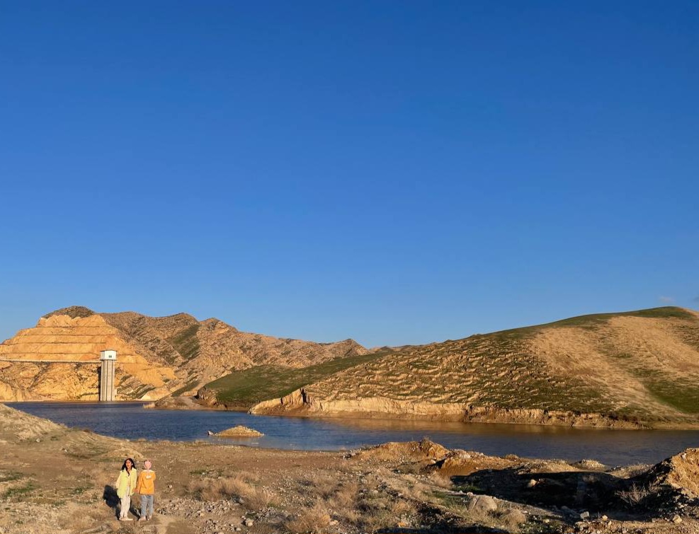
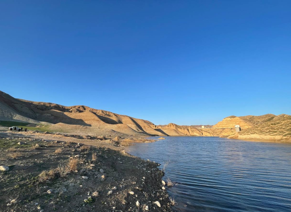
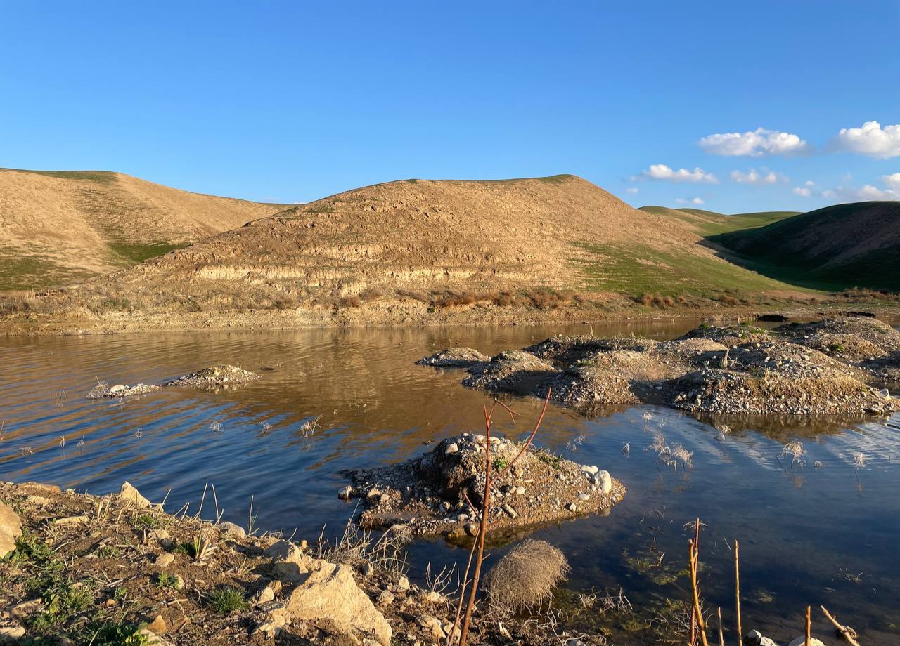
I climbed up one of the hills there and took this photo from another angle and wanted to increase my camera zoom, but unfortunately it wasn't possible. As you can see the kids playing on the dry edge.
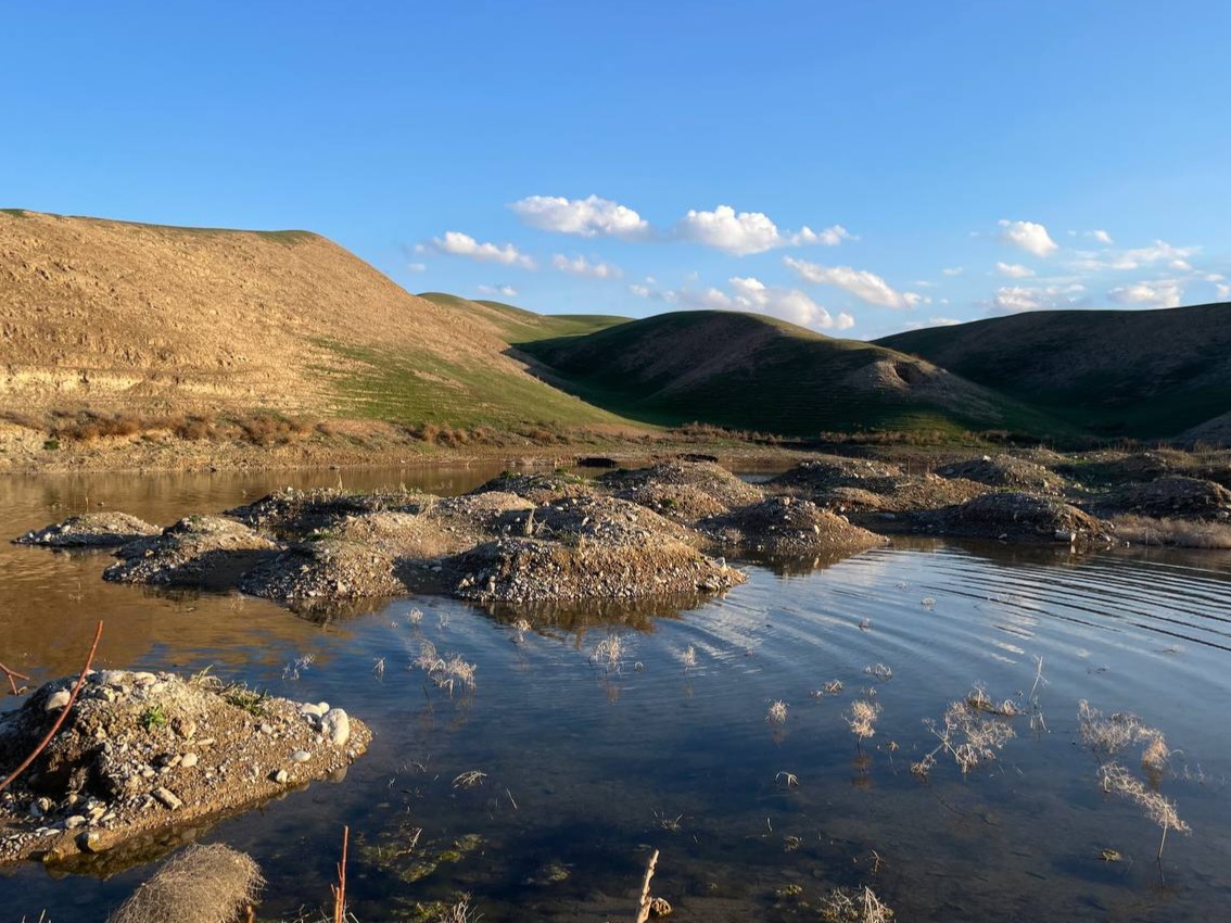
Given that there was more water around the land in the past, we were falling on the ground while the soles of our feet were on the ground and we walked a little.
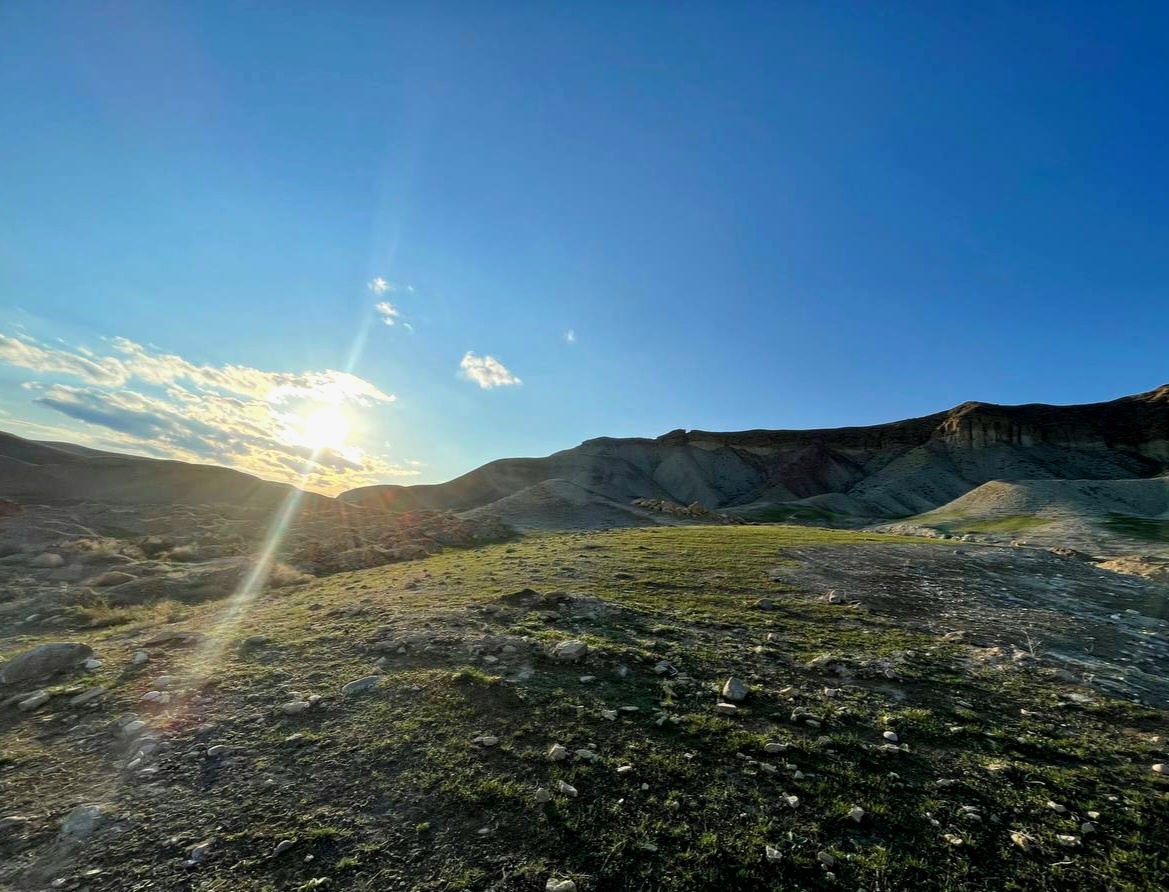
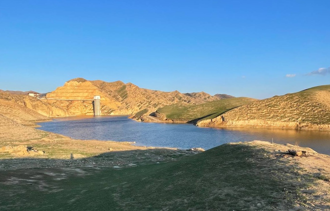
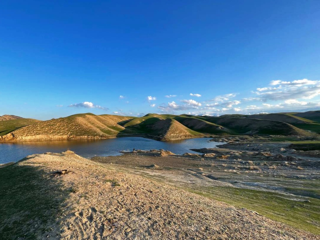
As we were close to the darkness, the sun rose a minute to a minute, and some of the shadows on the surrounding hills would have taken advantage of this opportunity and captured a few beautiful photos from the angle around me.
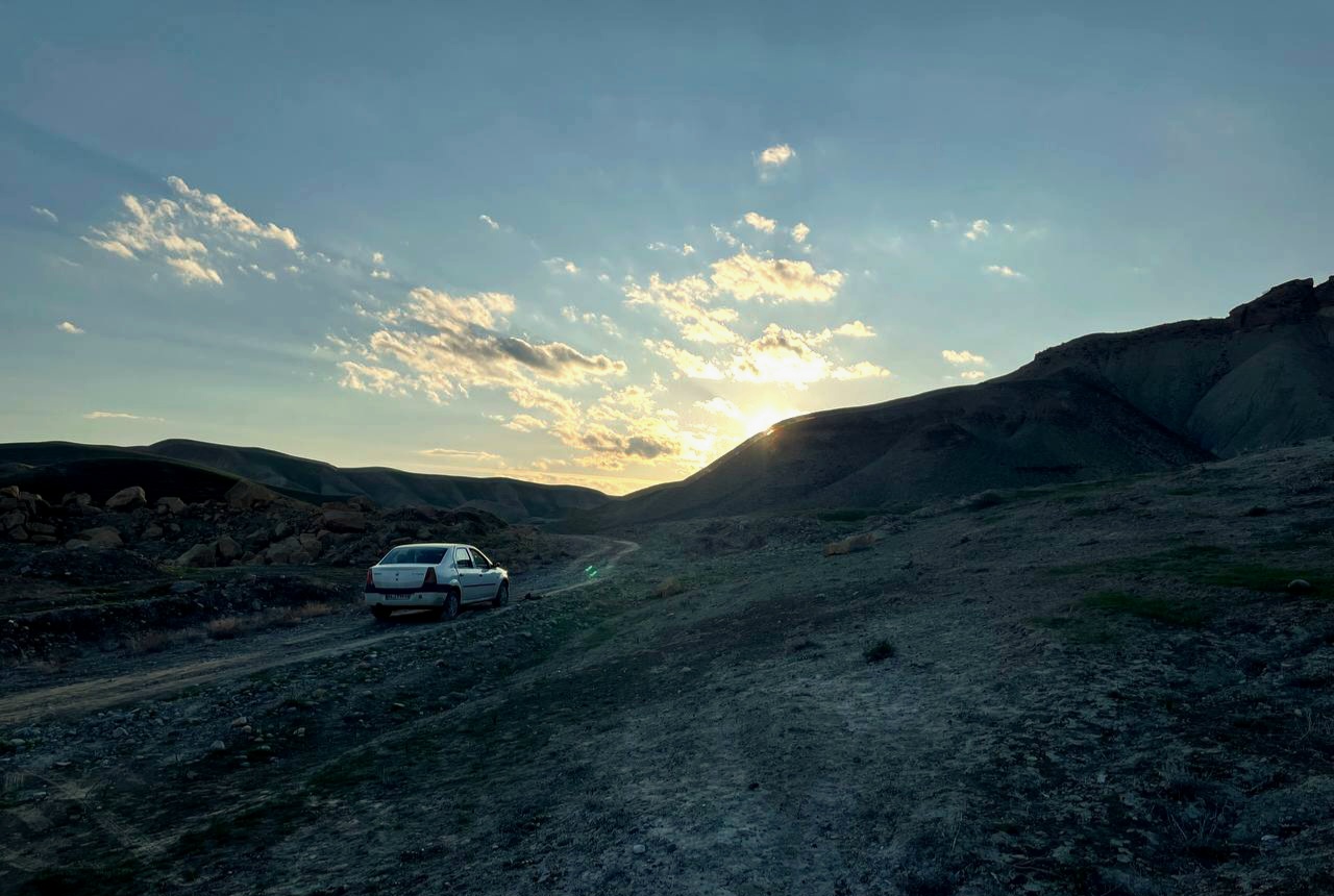
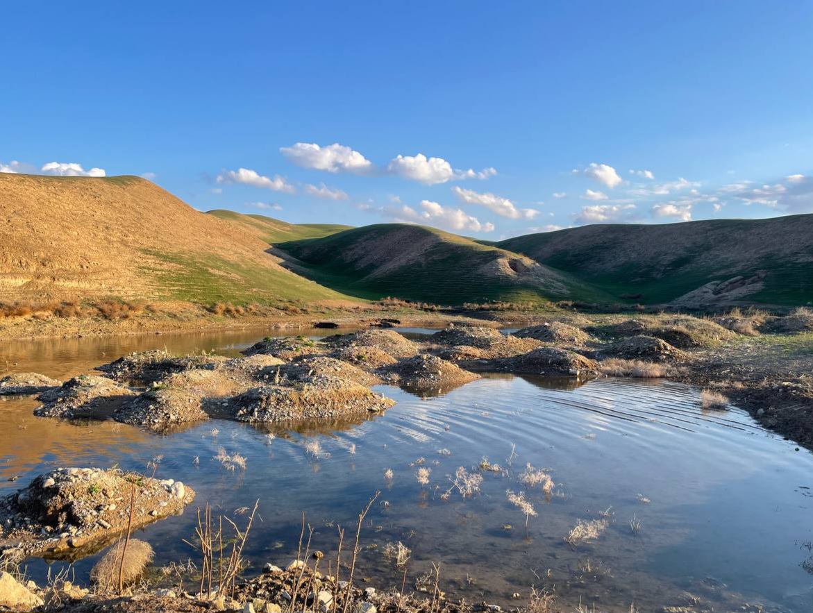
Given that this deviant route we came to the dam was a bit long and had a lot of bumps, we had to go back before the air was completely dark and captured this beautiful photo along the sunset.
Considering that I took the photos from a farther angle, you can see our companions by zooming in.
Today was really a good day! The photos I took were very nice and enjoyed myself.
Hope you enjoyed this session and don't forget the beautiful moments. Goodbye!

Photo by : naseshahedi
.png)
You can check out this post and your own profile on the map. Be part of the Worldmappin Community and join our Discord Channel to get in touch with other travelers, ask questions or just be updated on our latest features.
Congratulations @naseshahedi! You have completed the following achievement on the Hive blockchain And have been rewarded with New badge(s)
Your next target is to reach 40 posts.
You can view your badges on your board and compare yourself to others in the Ranking
If you no longer want to receive notifications, reply to this comment with the word
STOPCheck out our last posts: