Vienna´s Cool Three Bodies of Waters - check them out!
Hey guys!
The City of Vienna doesn't have a sea where everyone could go beachin`. In the absence of salt water, we have the Danube River that is kind of a replacement for water activities. The Danube is full of recreational areas that everyone could go to. In Summer we have various events such as the DonauInselFest where various activities are sponsored by the City administration...There are open air concerts and other festivities which happen mostly in the last week of June when the school is ready to take the Summer break.
Shown below is the bird's eye view of the three bodies of waters, image of which is provided by Wiener Linien, which is administering the trains and underground transportation such as U1, U2, U6. You see, the Danube separates the 21st and the 22nd Viennese Districts from the rest of the other districts of the city (District 1-20).
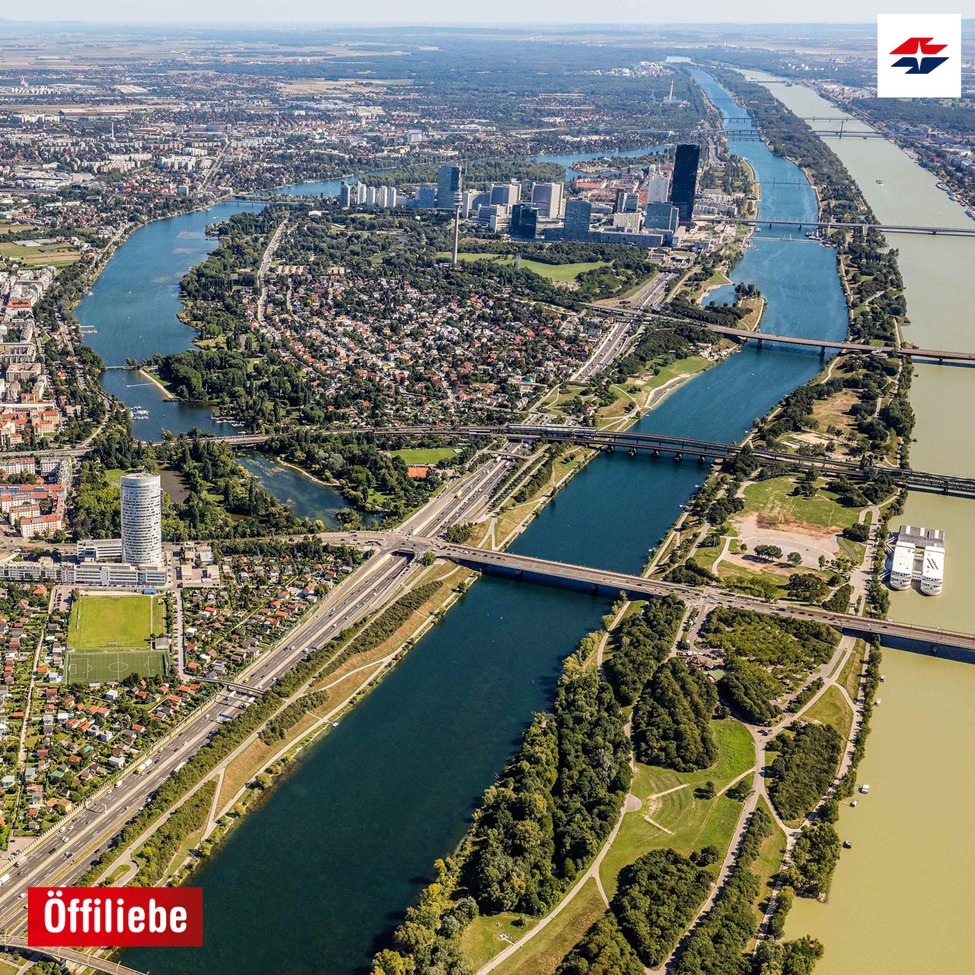
From what you can see in the photo, the real Donau (Danube River, the big one) is on the right that has a beige yellowish color of water, the land in the middle is the Donau Insel (Danube Island) and the blue water in the middle is the Neue Donau ( New Danube). The U-shape of water area on the left of the image is called Alte Donau
Now, the Donau Insel is actually a man-made island projected by the city admins as the Neue Donau were excavated as an arm extension of the Big Danube to prevent the flooding of the city. I remember, Oma Lisi, my husband's grandma said that there were floods in the city in the 50´s and 60`s particularly when the snow from the Alps were melting. The Island was created using nonstop truckloads of earth and were finished in the beginning of the 80´s.
Both the Alte Donau and the New Donau are "still water" and therefore always being cleaned from dirt by a fleet of aquatic weed harvesters so the people could swim nicely. The Big Danube is a fast moving river and is where the cruise liners are passing from one city to another. It starts from Bavaria, Germany all the way down to Bratislava, then ends in the Black Sea.
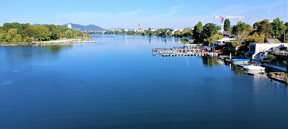
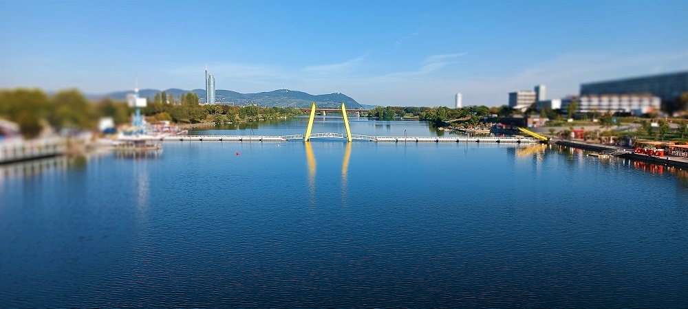
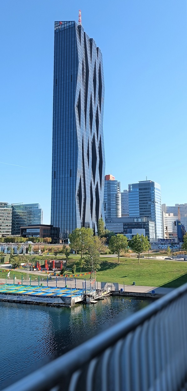
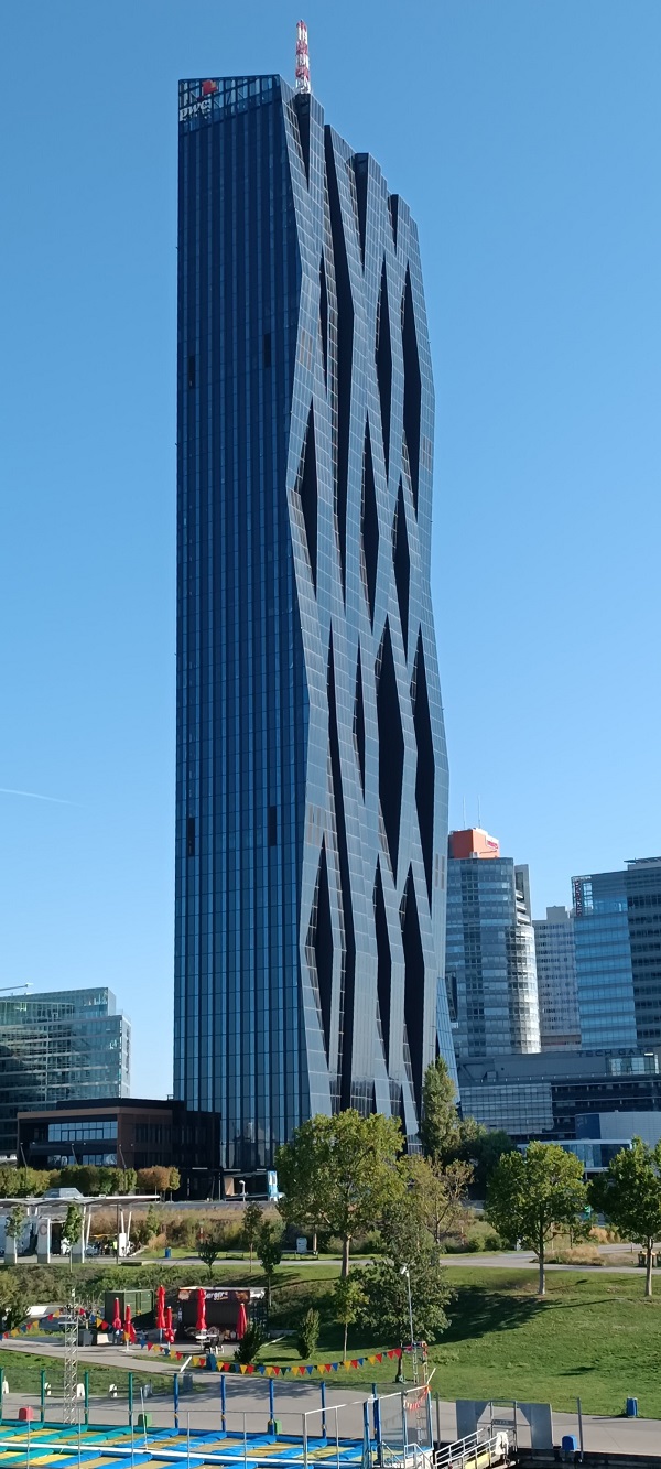
When I took these images, I was in the underground train called U1 that passes the Reichsbrücke (where the Vienna Marathon starts and takes place each year.) I had to be still and fast in clicking the camera of the smartphone and got a perfect pic of the Old Danube water area below.
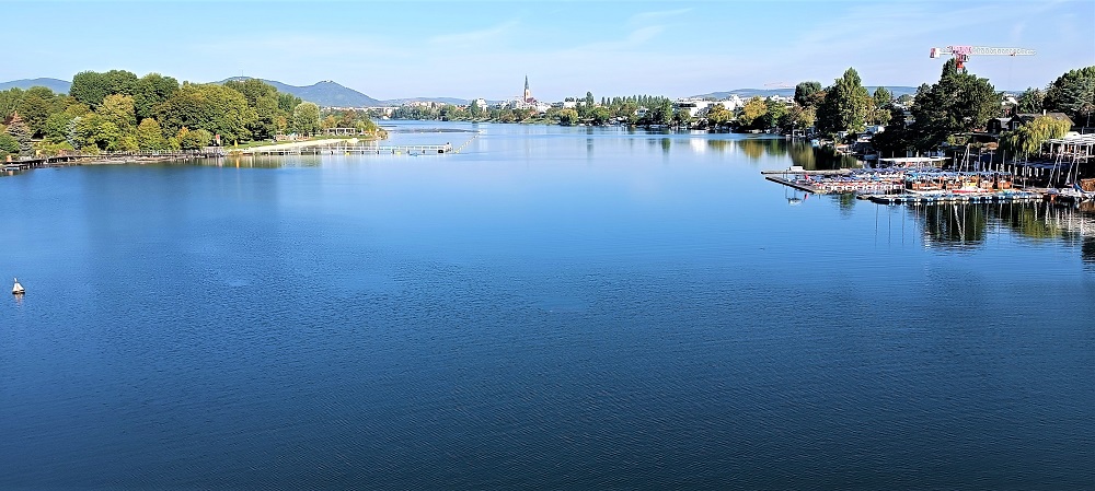
The Old Danube was still quiet on a Saturday morning when I was on my way to the flea market. When I came back the other way around, there were many small boats already scattered on the water with their white sails.
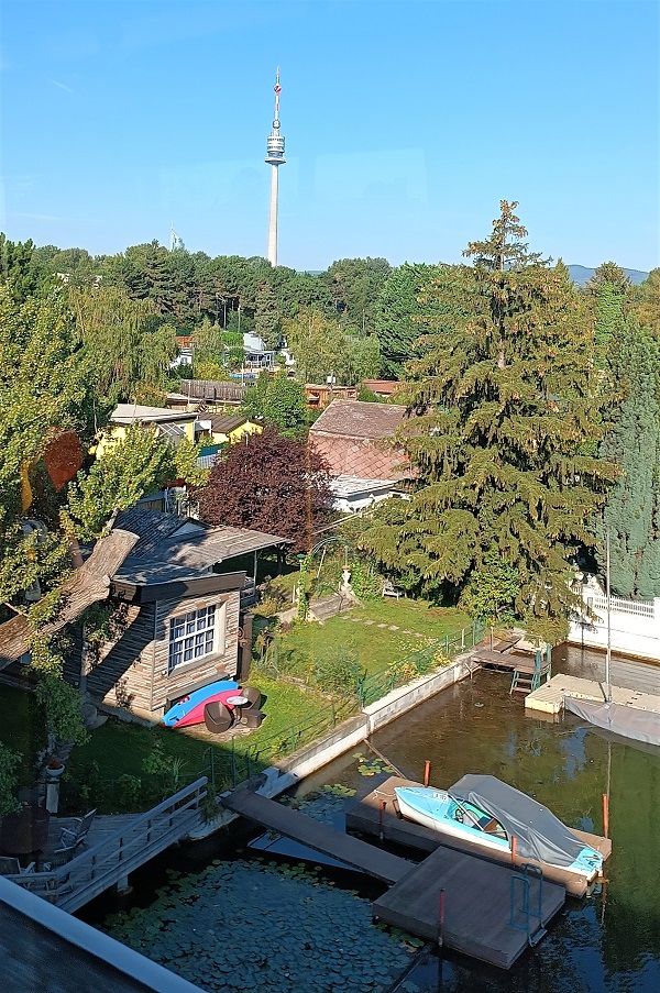
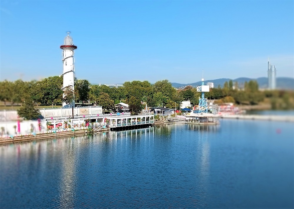
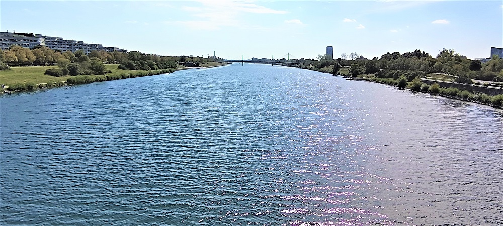
I got out of the station called Donau Insel to photograph these images. So the left and right sides of the water are the recreational areas of the Donau Insel and it comes all the way from the inlet structure that provides the intake of the water from the Danube River in Langenzersdorf. This still water ends in the area of the Oil Port of Lobau in the 22nd District Donaustadt and again joins the water of the Danube River.
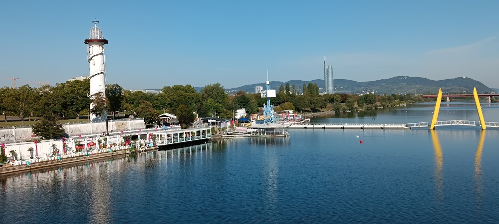
Continuing the Neue Donau, this is the other side of the U1 which stretches all the way to the Lobau area. One can bike-uninterrupted from both sides of the concrete to the other end of Donau Insel till one reaches the end of it in Langenzersdorf.
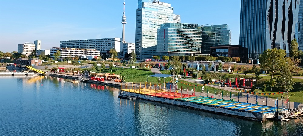
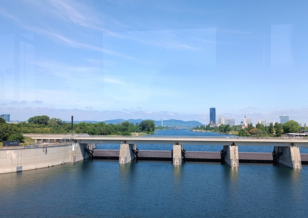
The end of the still water of the New Danube below, this is the structure that navigates its water back into the big Danube River.
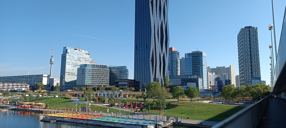
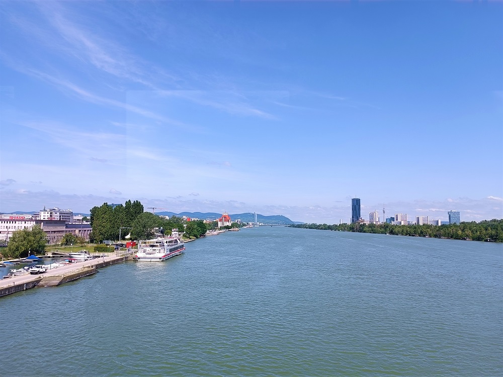
Below, the Danube River has a River Cruise Port for the cruise liners. So all in all, although the city has no sea and salt water, there are always areas that cater to the recreational aspects of the city.
That´s it for now.... Happy weekend, have fun, stay safe and I´ll see you around
[//]:# (!pinmapple 48.20539 lat 16.43669 long The Danube River, Vienna d3scr)

All photos except for image Nr. 2 (with source) were taken by the author, @mers
using Redmi Note 11 Pro.
using Redmi Note 11 Pro.
Congratulations, your post has been added to Pinmapple! 🎉🥳🍍
Did you know you have your own profile map?
And every post has their own map too!
Want to have your post on the map too?
Very impressive and awesome sight...the clean river plus the architecture and style of the buildings around.
Nett!
That city looks so modern and peaceful.
Congratulations, your post has been added to Pinmapple! 🎉🥳🍍
Did you know you have your own profile map?
And every post has their own map too!
Want to have your post on the map too?
wow! what amazing views! How fascinating that this big body of water is a river..... haha. Usually here in the Philippines this is already an ocean. The Danube is truly magnanimous in size and length.
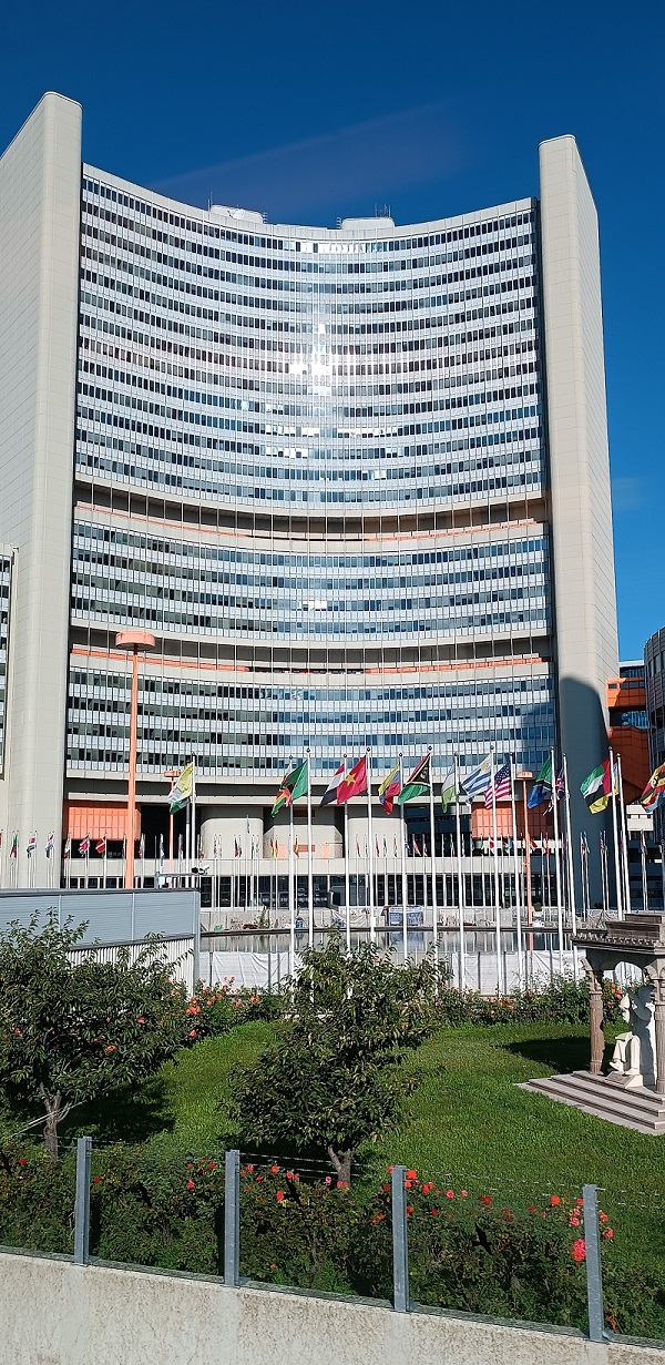
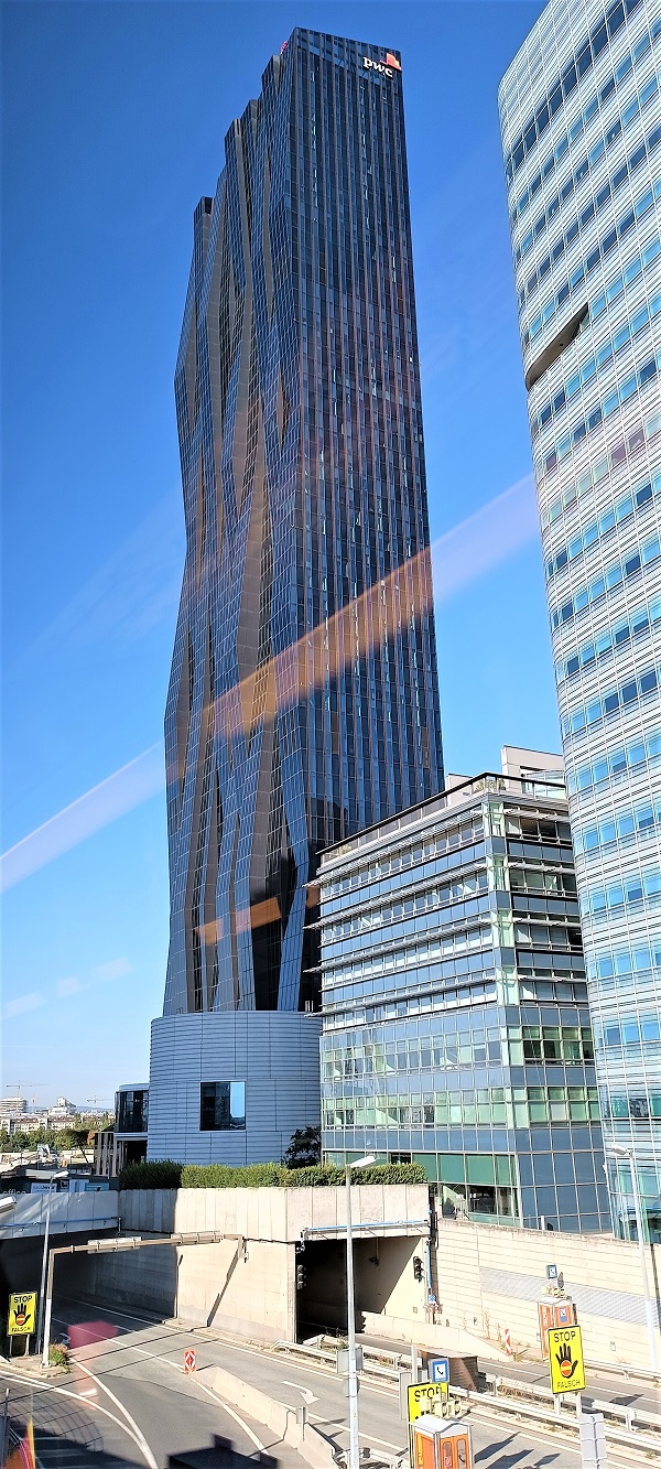
Those buildings are so tall, I wonder how many storeys high are they....
I enjoyed reading while skimming thru the photos. Thanks for sharing with us The Danube. 🥰😉
Dear @mers,
May I ask you to review and support the Dev Marketing Proposal (https://peakd.com/me/proposals/232) we presented on Conference Day 1 at HiveFest?
The campaign aims to onboard new application developers to grow our ecosystem. If you missed the presentation, you can watch it on YouTube.
You cast your vote for the proposal on Peakd, Ecency, Hive.blog or using HiveSigner.
Thank you!