Exploring Budlaan Trail: Our Quick Day Hike to Brgy Guba
Back in 2015, when I embarked on my first hiking adventures, a firm belief held its place in my mind: 'I won't hike the same trail again' or 'I won't return twice to the same place.' During that time, the allure of exploring new territories and discovering fresh trails captivated my adventurous spirit. I craved novelty and actively sought the thrill of venturing into uncharted landscapes. Little did I know that my mindset would undergo a remarkable transformation over the years.
It was through these hiking experiences that I came to realize what truly mattered to me—the journey itself. The shared moments, the stories exchanged, and the bonds formed, whether with familiar faces or new companions, held more significance than I had anticipated. Aw charez
A few weeks ago, one of my hiking friends, Alton, messaged me and asked if I was interested in joining him and @mariasalve's colleagues for a day hike to Budlaan Falls. Fortunately, I didn't have any planned activities or errands, so I excitedly said YES!
|
|
|
|
|---|
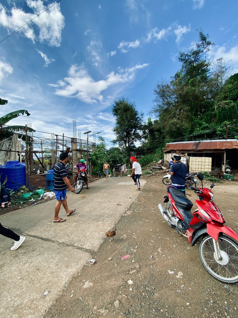
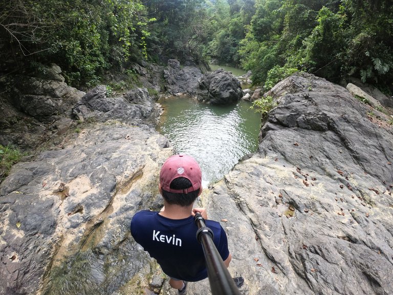
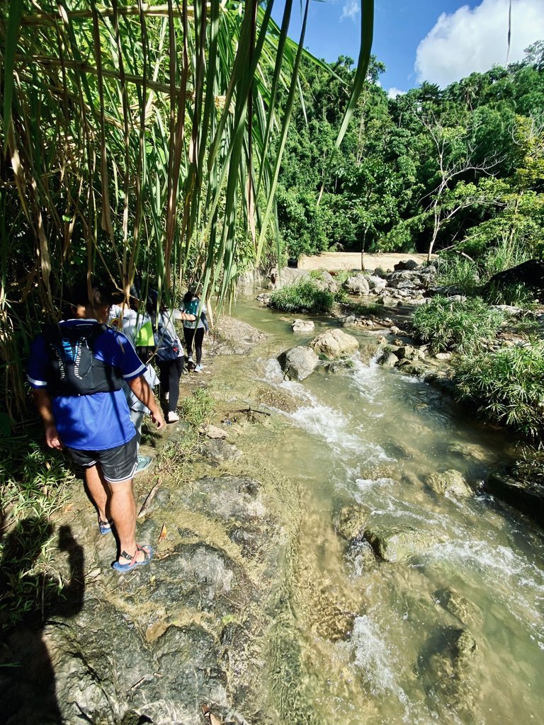
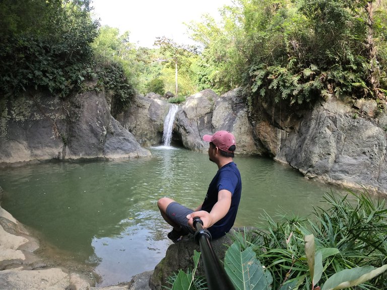
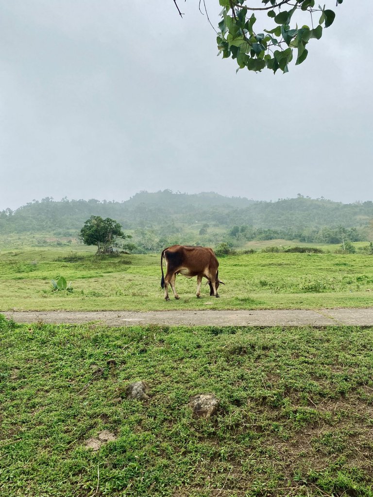
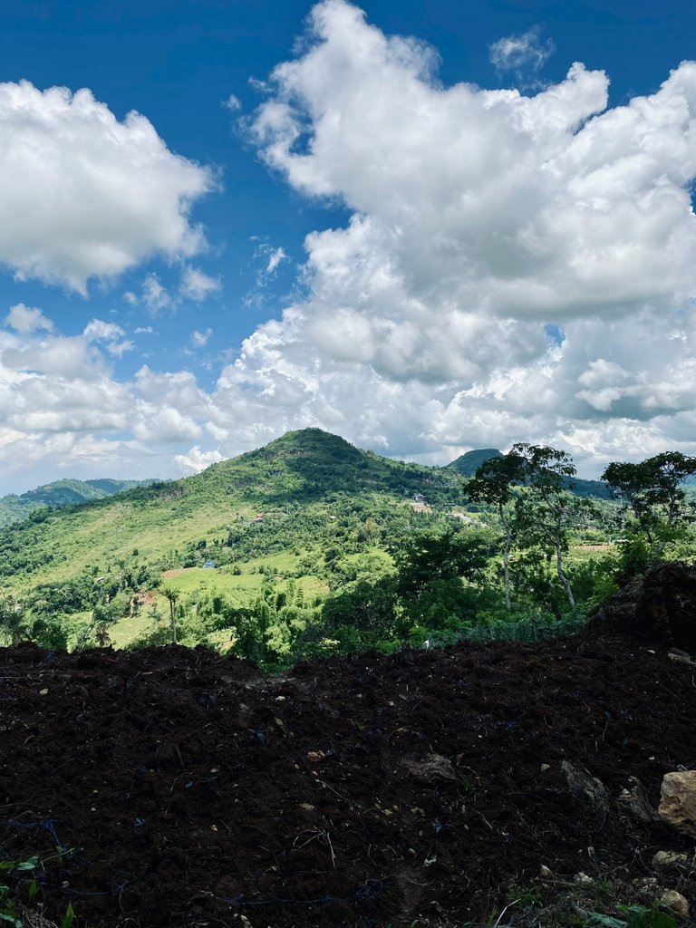
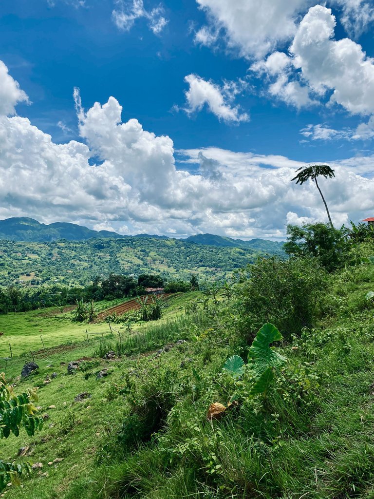
BUDLAAN TRAIL, located at Brgy. Budlaan, Cebu City, is often referred to as the Budlaan trail by local hikers. It serves as one of the entry points to Sirao Peak. The trail has gained popularity due to its scenic beauty and affordability compared to other entry points. To reach the actual jump-off point at Sitio Baugo, Budlaan, we hired a habal-habal for PHP 70 each. I recall that the fare used to be just PHP 25. It's astonishing how inflation has affected prices since then.
|
|
|
|
|---|
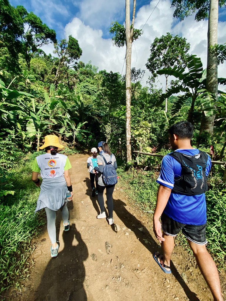
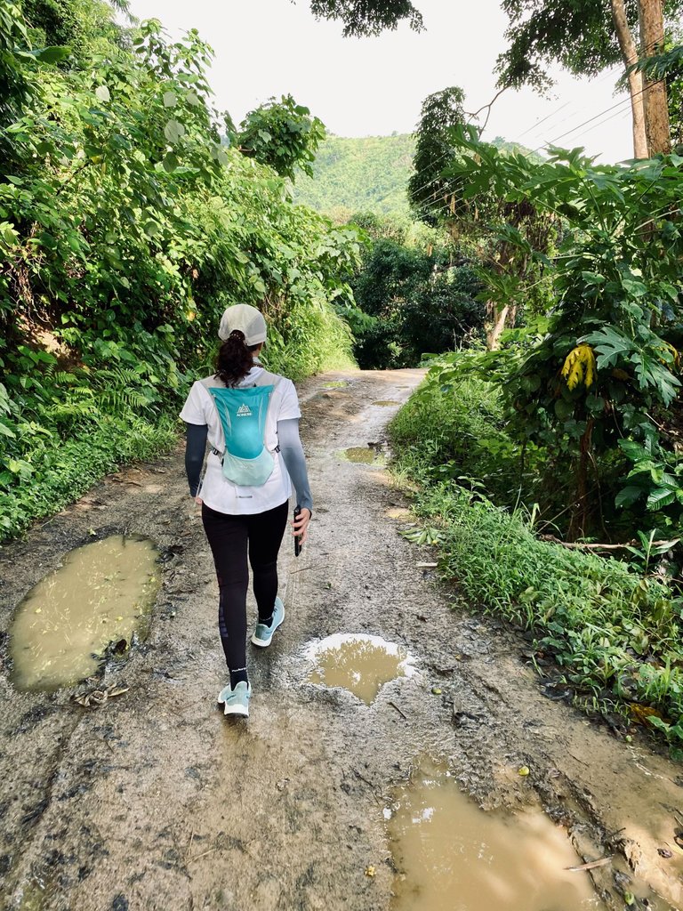
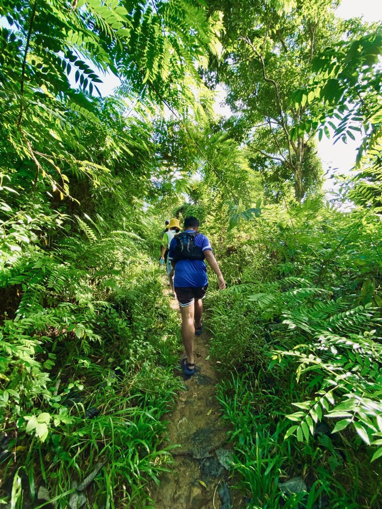
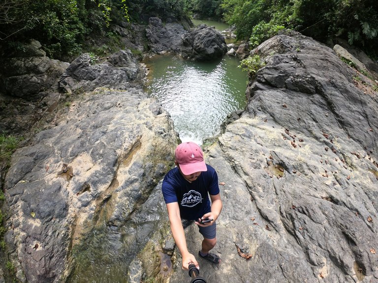
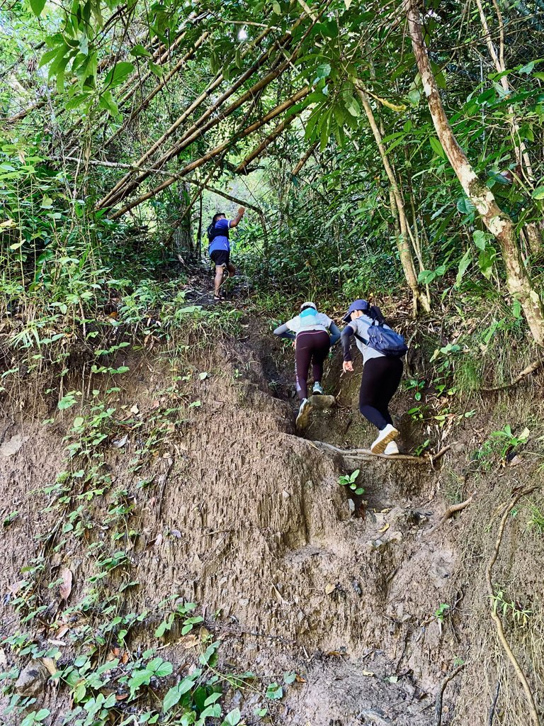
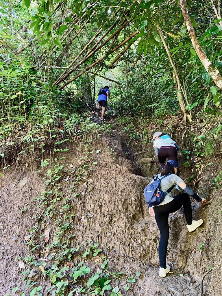
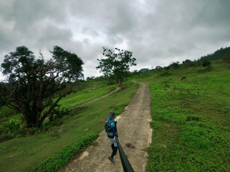
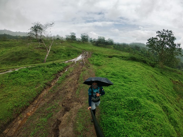
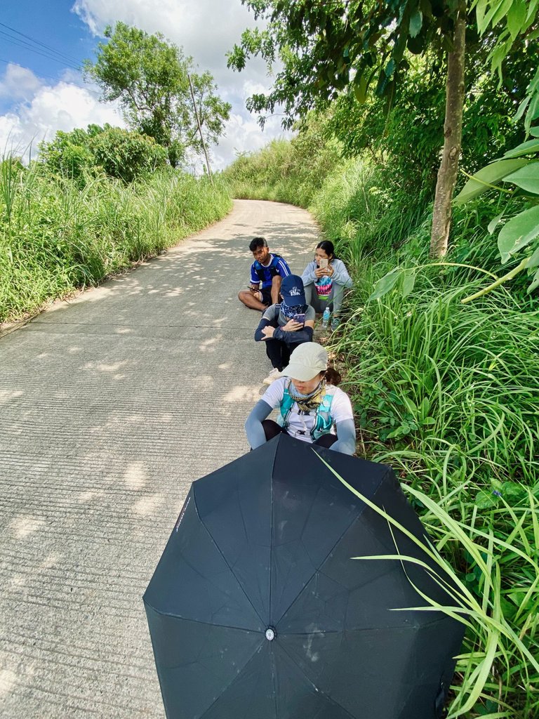
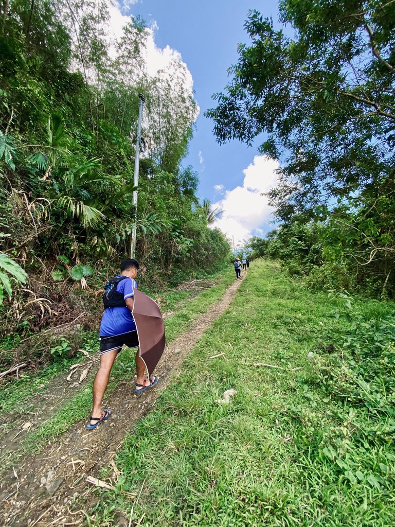
Just as we were about to begin our hike, a local at the jump-off warned us about the high water level in the river. Due to recent mountain rainfall, the river might be gushing and crossing it could be dangerous. Consequently, we made the decision to skip the river trail and opt for the shortcut instead.
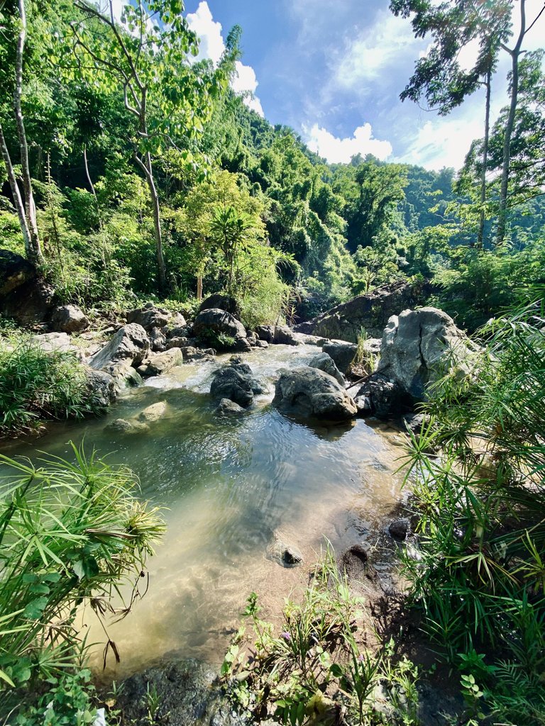
Although we missed out on the river trail, here are some of the spots we should have encountered along the way.
Heart-shaped pool - This catch basin resembles a heart shape when viewed from a specific angle. It serves as the starting point for the river trail and was a popular spot for local kids to jump and swim. Just a few meters away from the heart-shaped pool, there is another falls, although I'm not certain about its name. Haha.
|
|
|
|---|---|
|
|
|
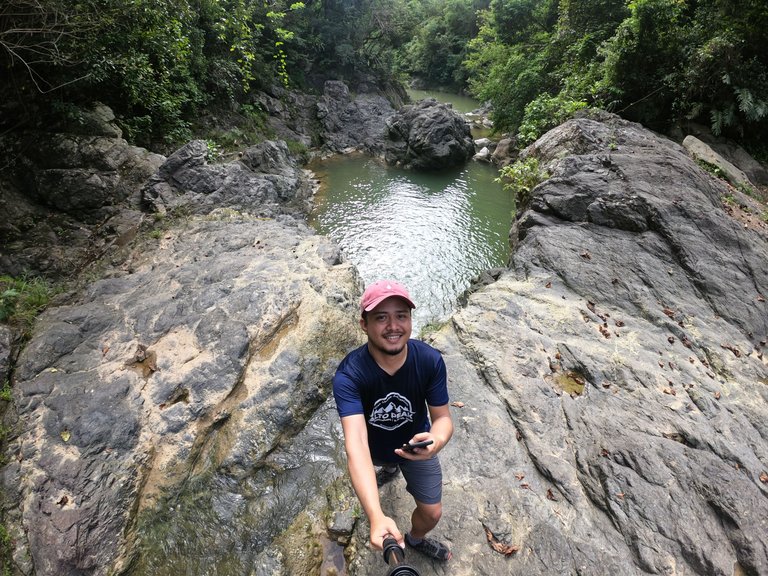
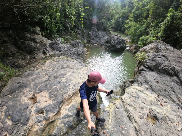
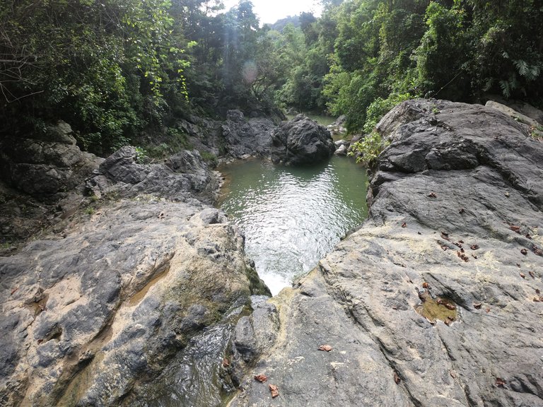
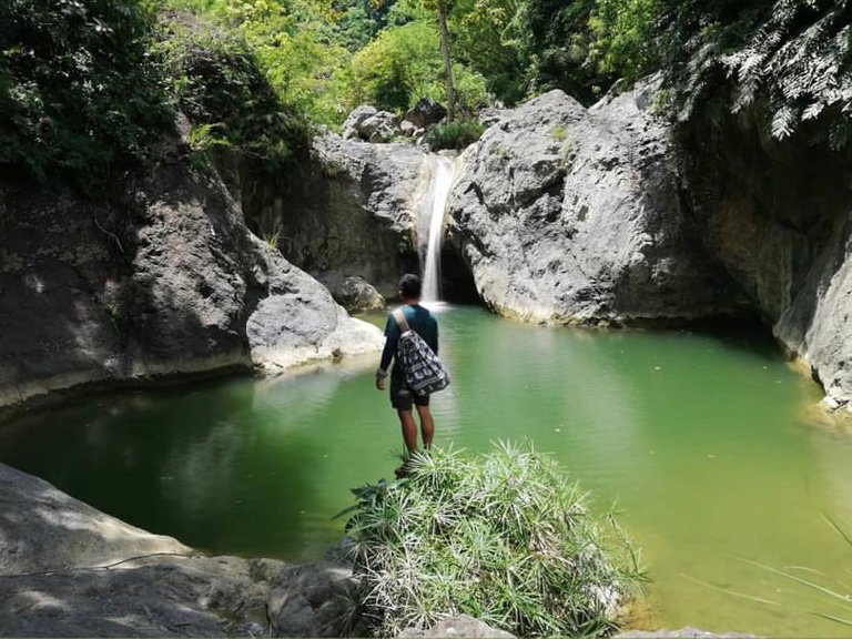
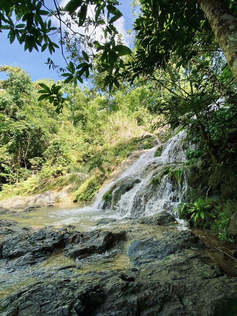
Tinisik-Uwang Falls - Also known as Budlaan Falls among most local hikers, Tinisik-Uwang Falls is the tallest waterfall in the Budlaan Trail. It offers a picturesque setting, perfect for swimming and capturing memorable photographs.
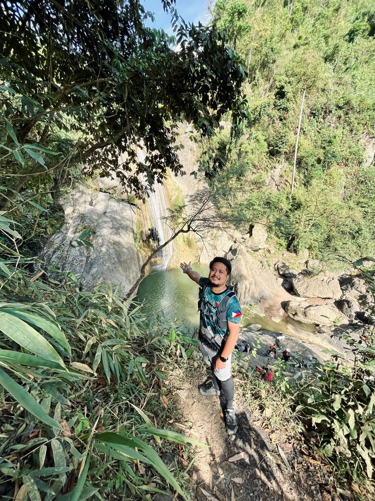
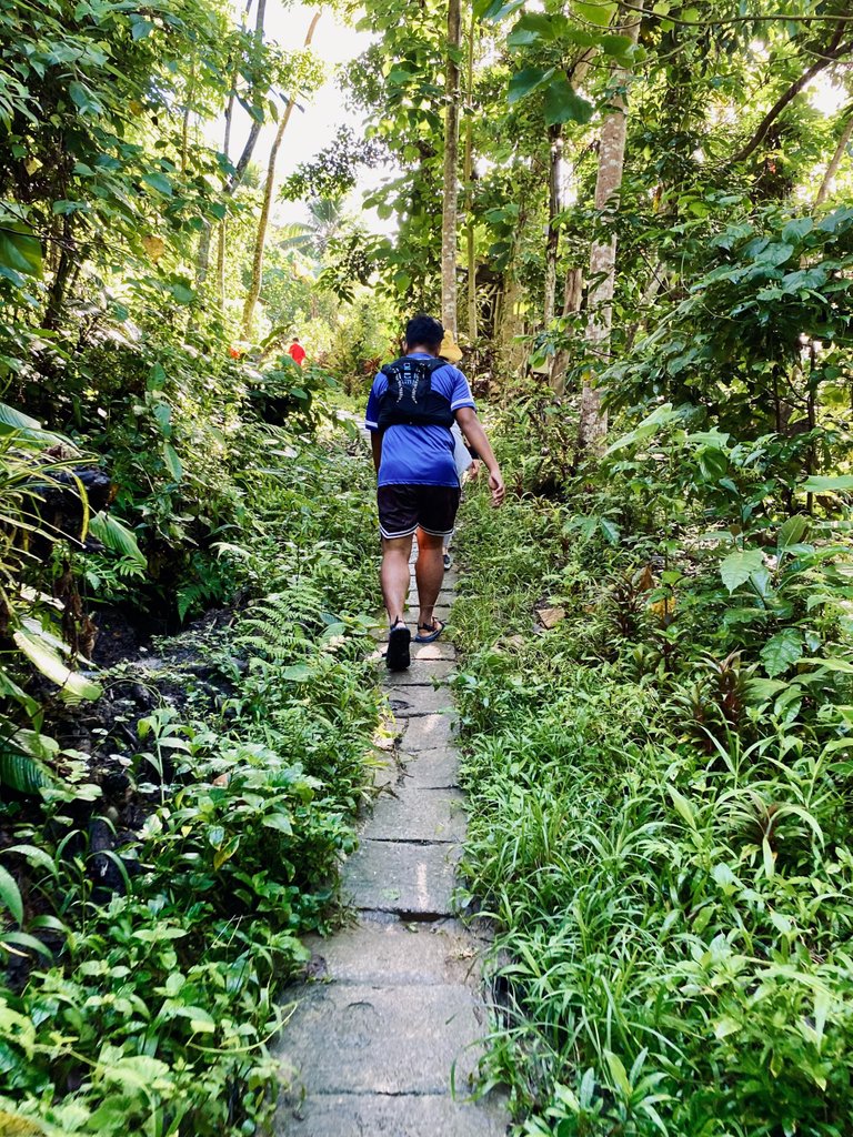
The shortcut trail we took also leads directly to Tinisik-Uwang Falls, which is frequented by tourists who are solely interested in viewing the falls.
When you reach the main falls, you have two options for your next move. Firstly, you can climb the "kiss-the-wall" section on the right side of the waterfall, leading to Mukpok Falls. Be warned, though, it's not for the faint-hearted as it requires ascending using a rope. Haha.
The second option is to backtrack along the trail you descended to Budlaan Falls. I once attempted to ascend that way with a heavy backpack and don't intend to try it again due to its steepness.
However, on this day hike, we decided to take the shortcut trail that leads to the second-to-last falls, Mukpok Falls. This route required crossing the river only once, making it a convenient choice.
|
|
|
|---|---|
|
|
|
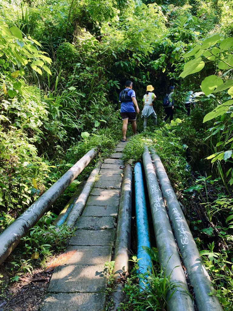
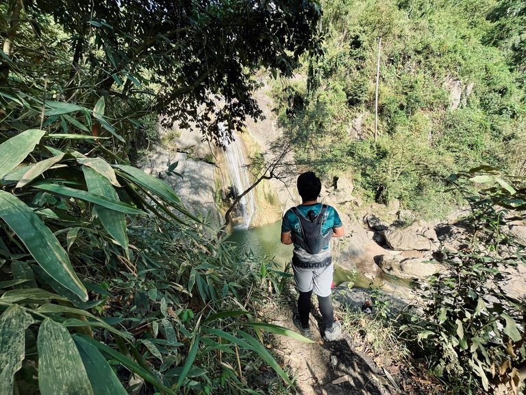
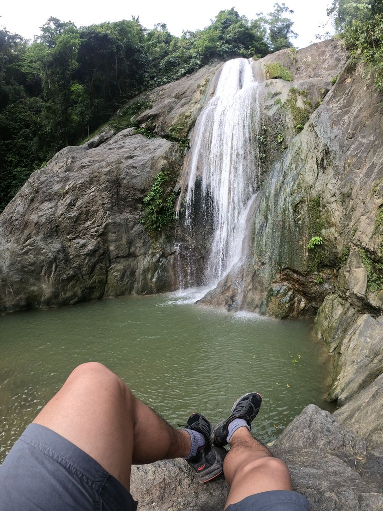
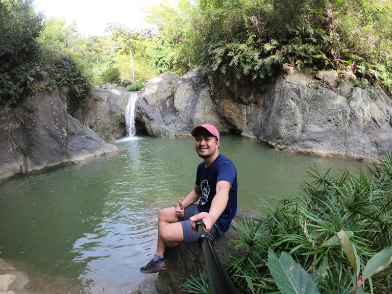
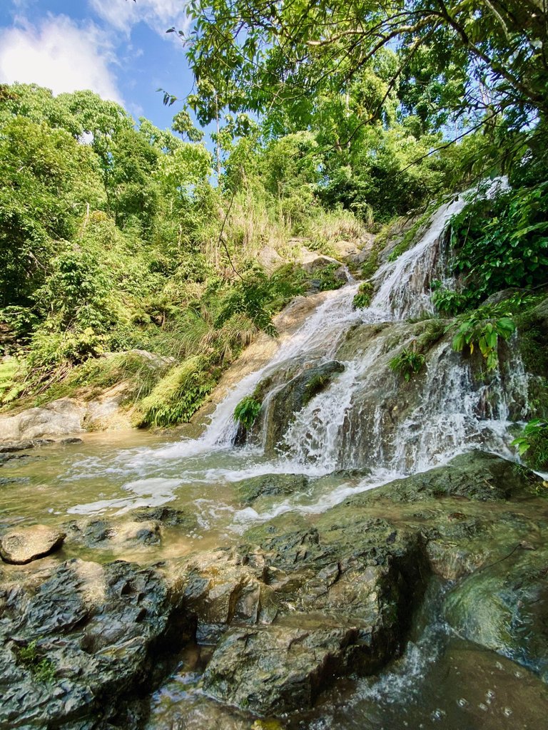
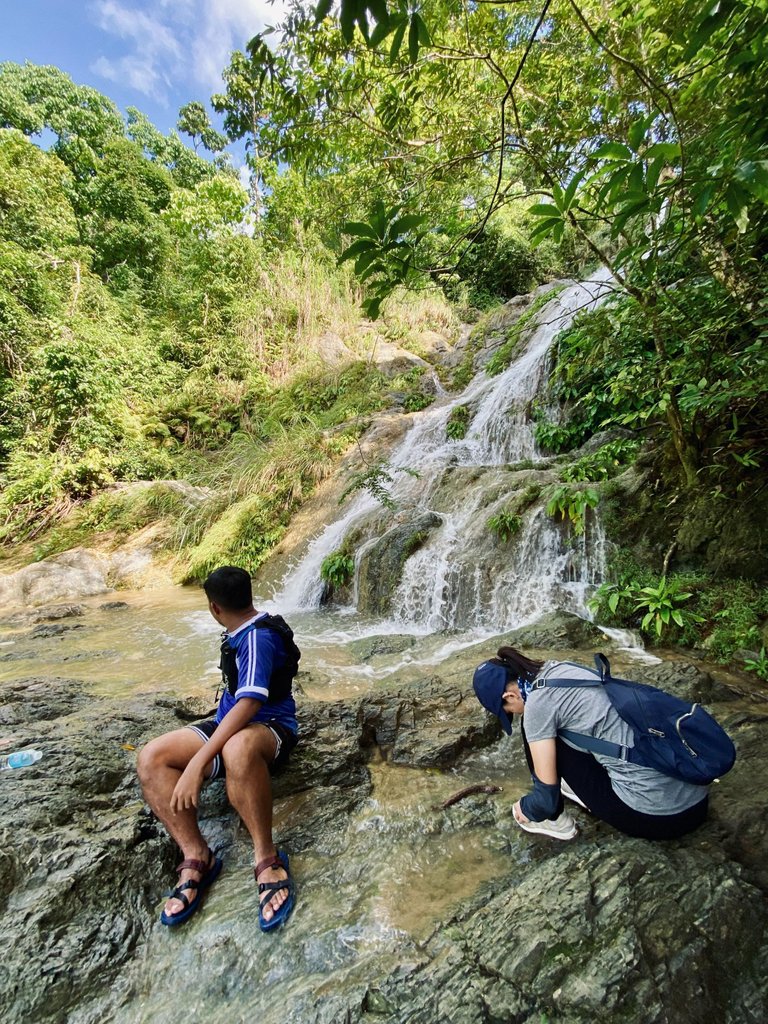
Mukpok Falls - Located just a few meters from the main Tinisik-Uwang Falls, Mukpok Falls is the second-to-last waterfall in the Budlaan river. It can also be accessed through the "kiss-the-wall" section mentioned earlier.
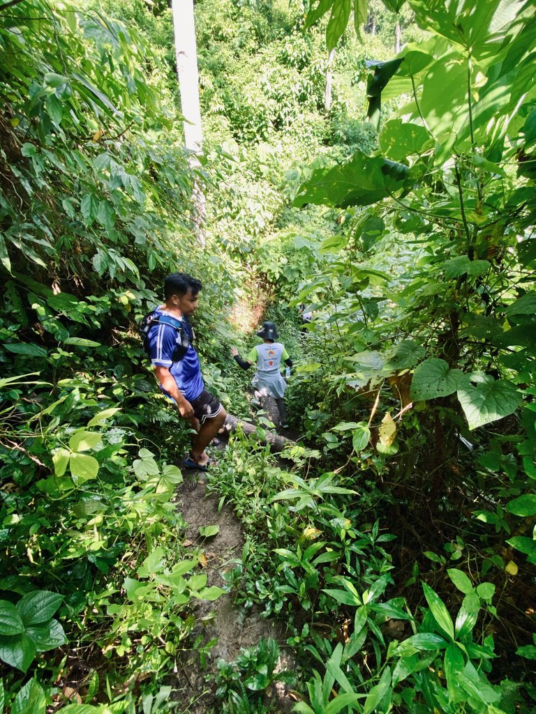
The next part of the hike involves traversing a short forested trail leading to the last tier of the falls.
Fortunately, when we arrived, the falls had an abundant flow of water, making it a perfect backdrop for capturing Instagram-worthy photos.
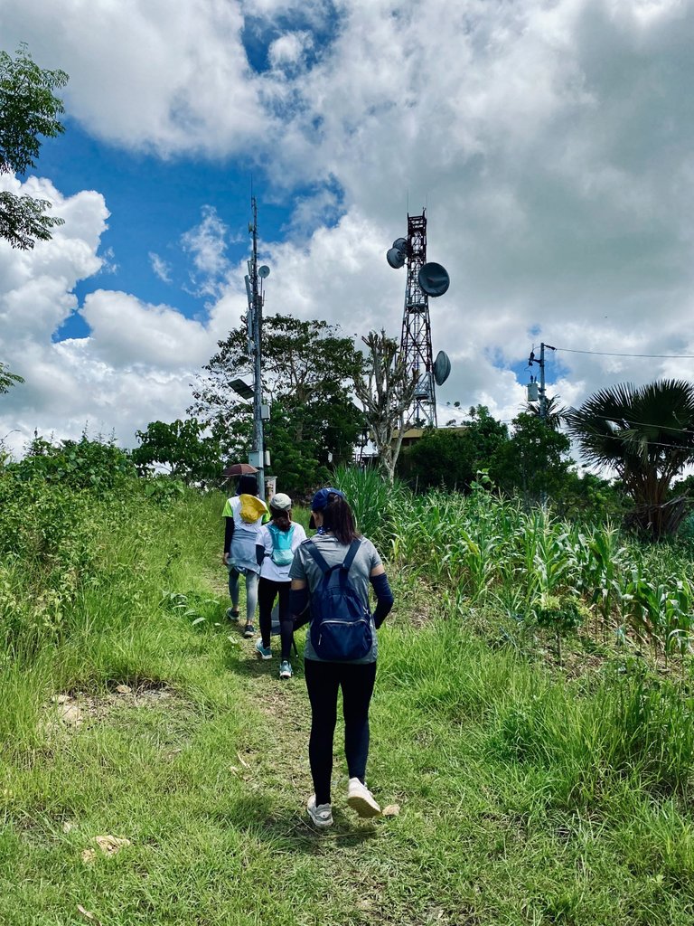
We spent a considerable amount of time there since it marked the end of the Budlaan river trail. The following section of the trail leads to the basketball court, where our journey would take a different direction.
At this point, you have three options.
The first option is the trail leading to Kan-irag Campsite.
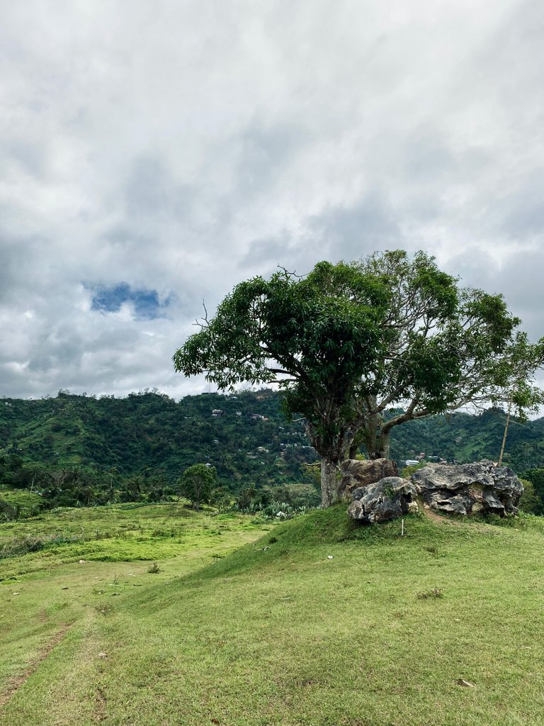
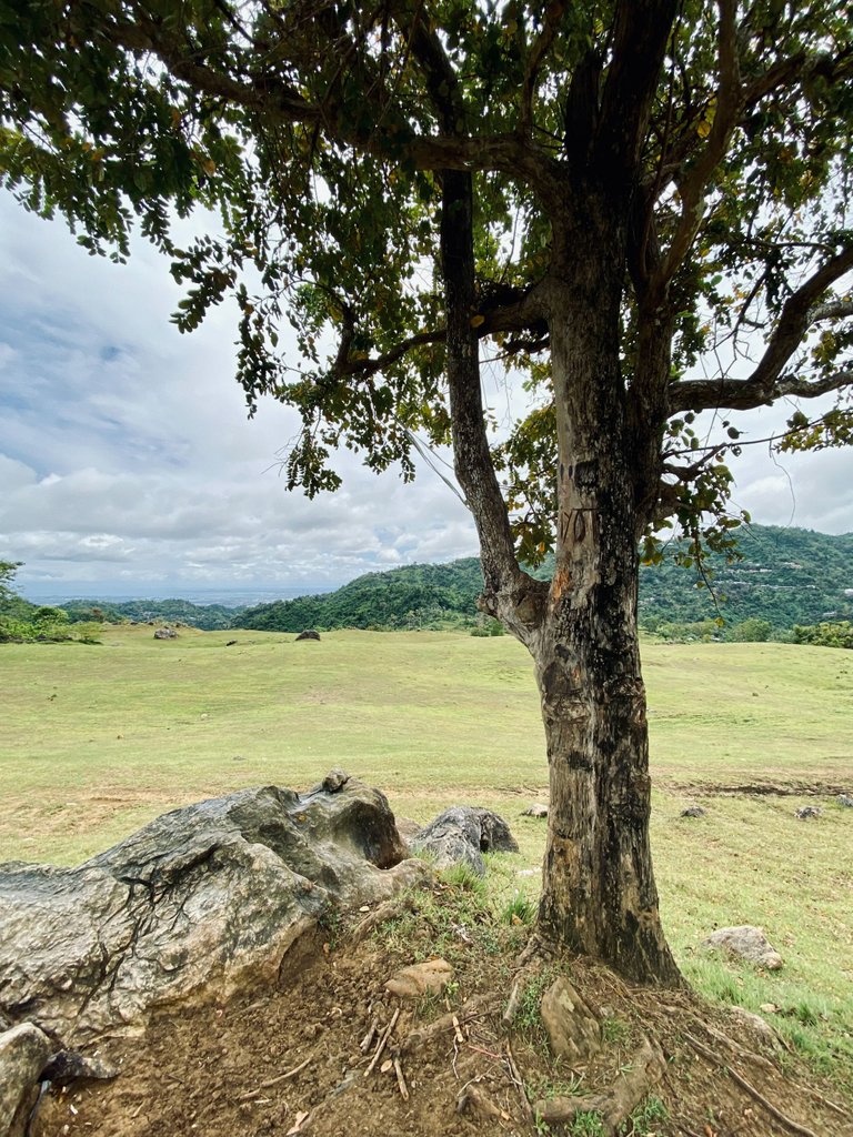
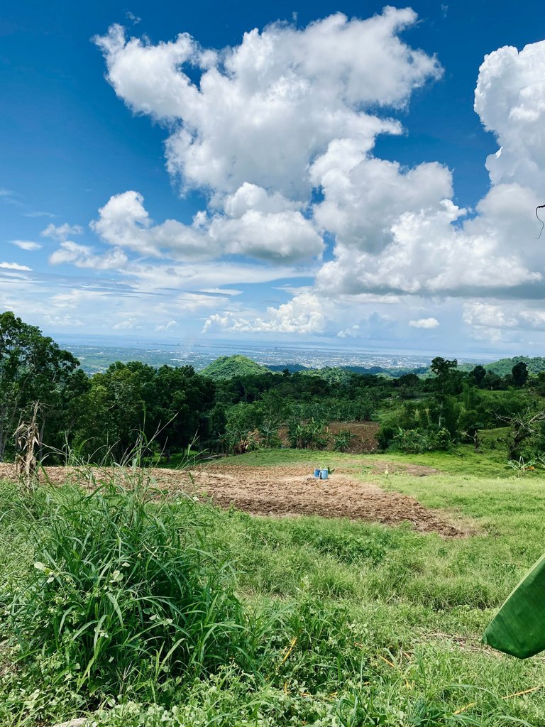
The second option is to head towards Brgy. Malubog via the abandoned Ayala golf course. It's one of my favorite exit points when I hike solo.
I used to find solace under one of the trees, listening to music, and contemplating about various things. The view from there is truly captivating.
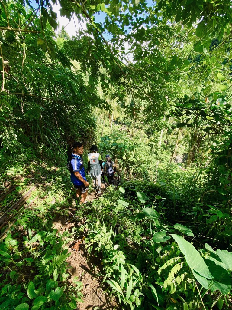
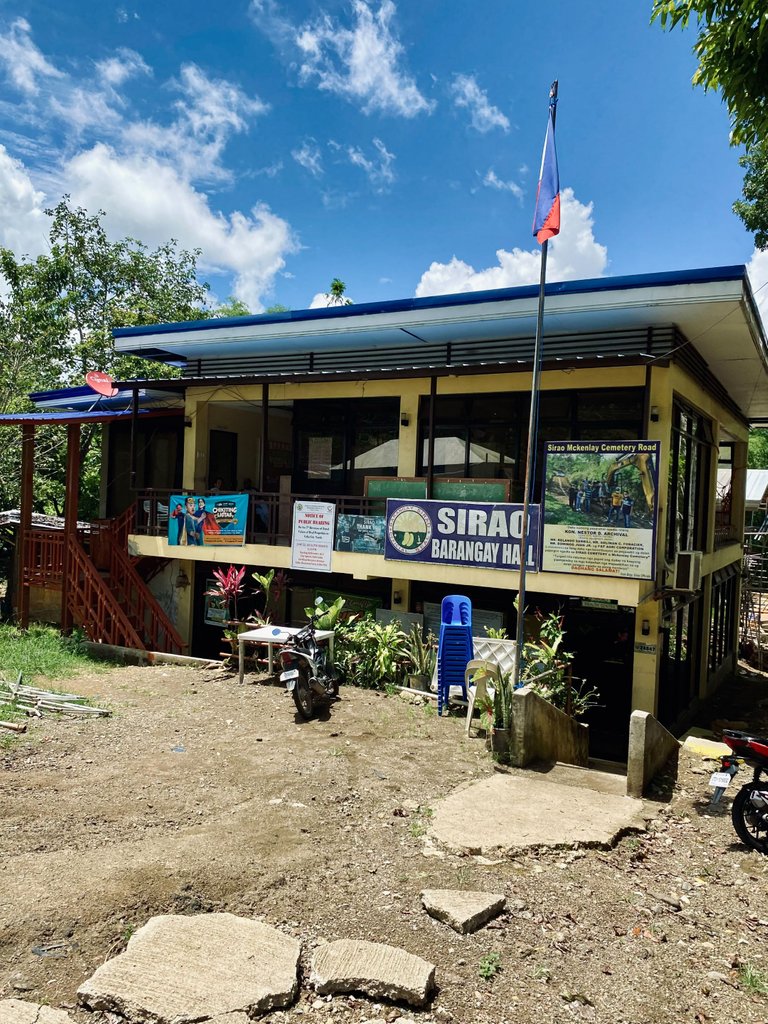
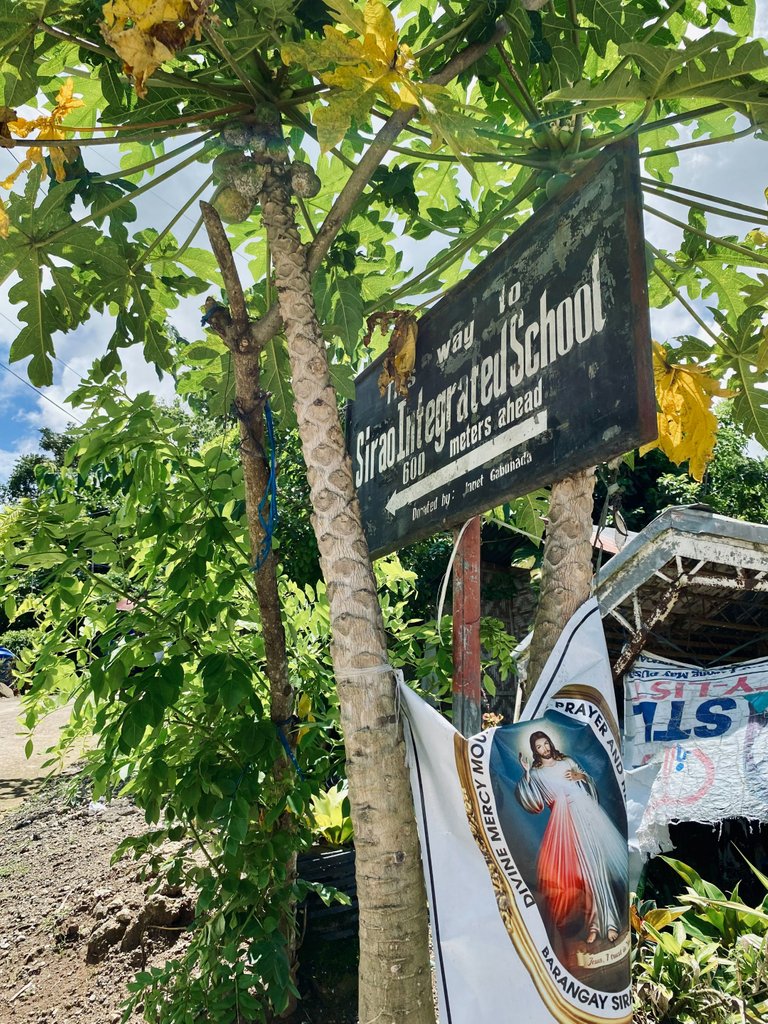
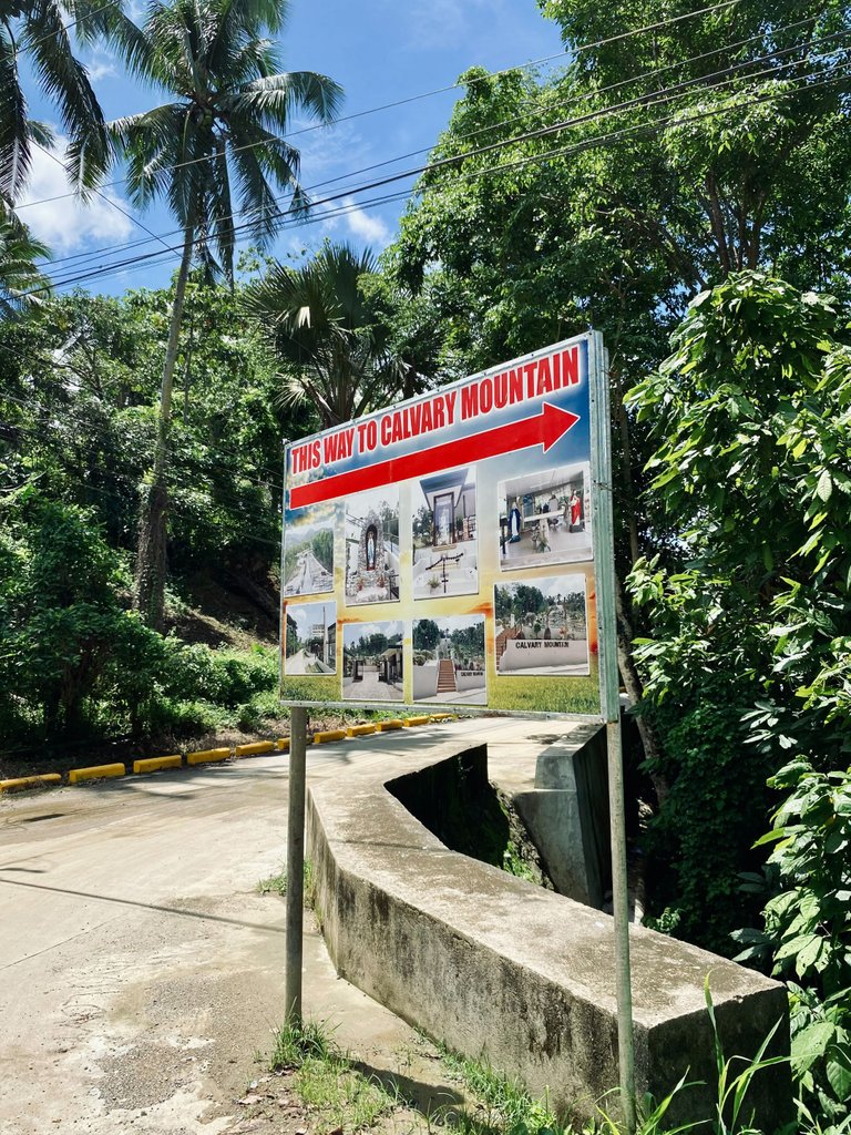
However, on this particular hike, we opted for the third option as we wanted to explore another mountain. Our destination was Brgy. Guba, another mountainous barangay in Cebu City.
|
|
|
|
|---|
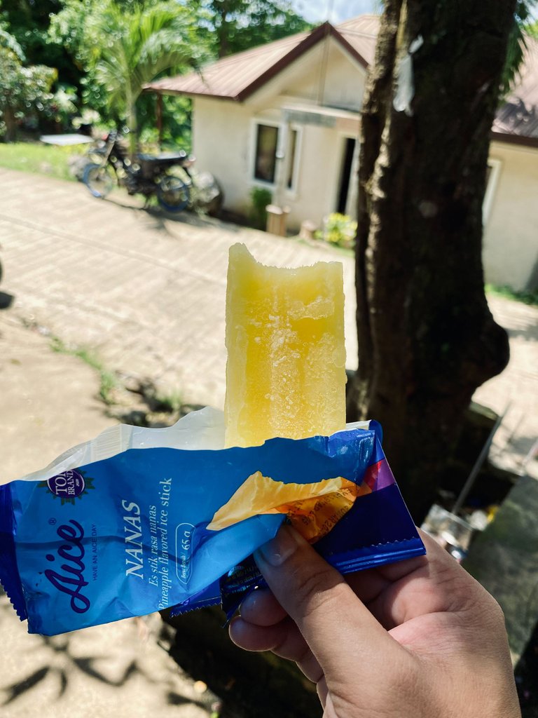
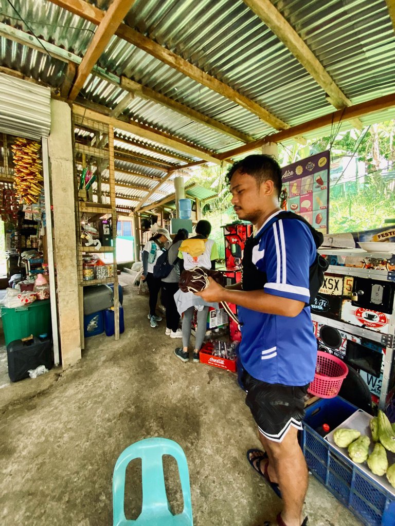
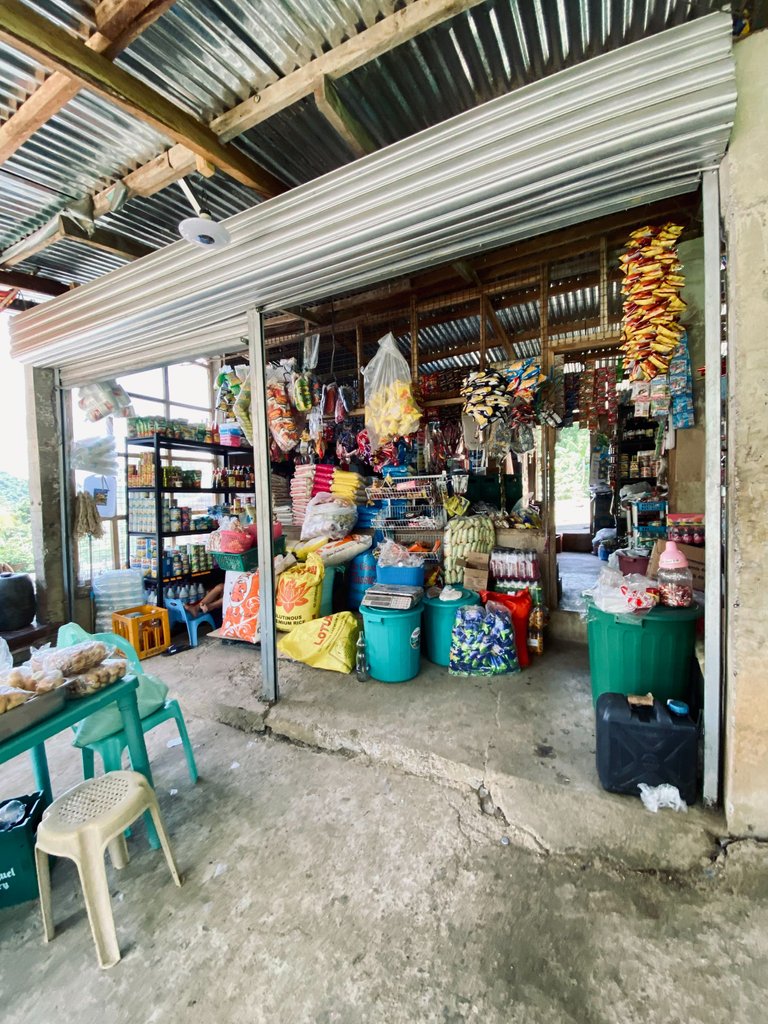
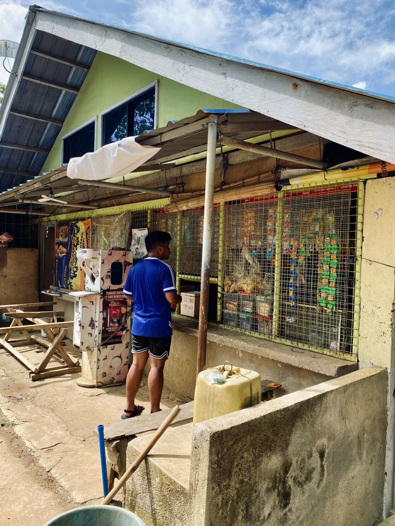
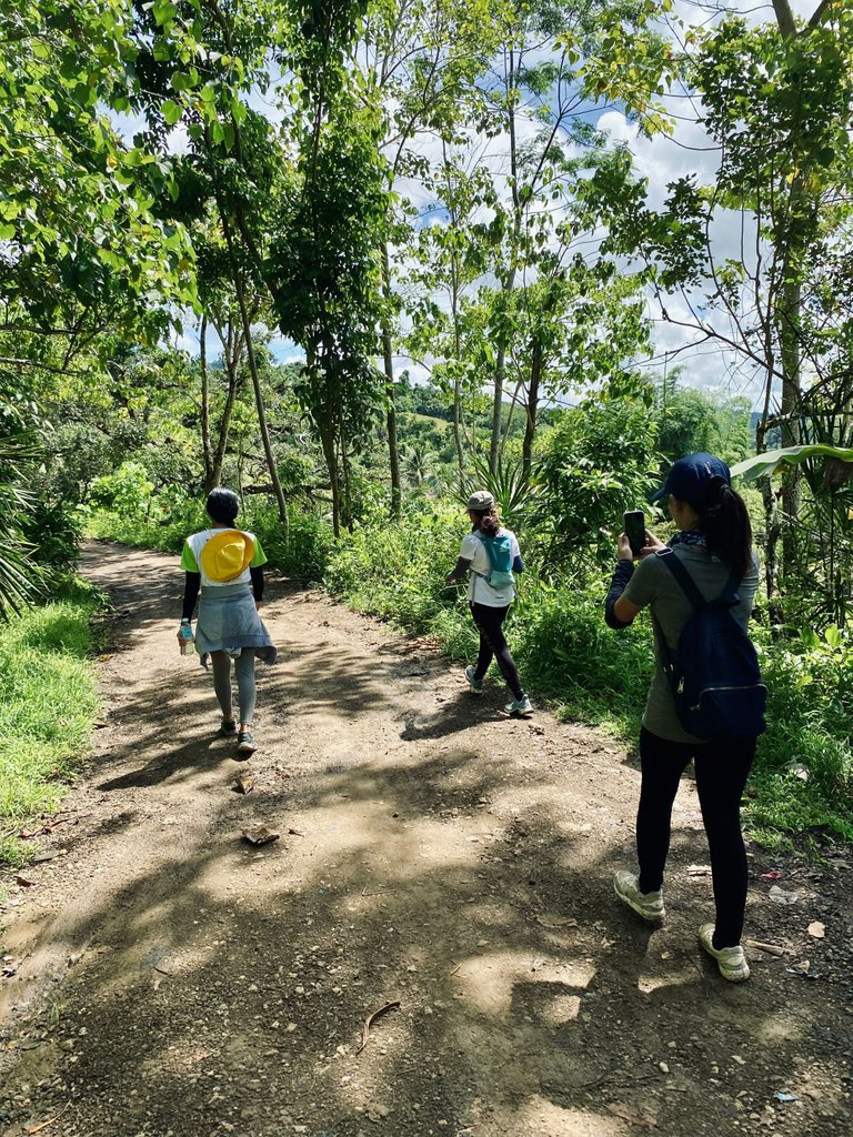
The great thing about our trail that day was that there were many sari-sari stores along the road. Whenever we passed a store, we would sometimes buy cold soft drinks or even popsicles to refresh ourselves.
|
|
|
|
|---|---|---|
|
|
|
|
|
|
|
|
|
|
|
|
|
|
|
|
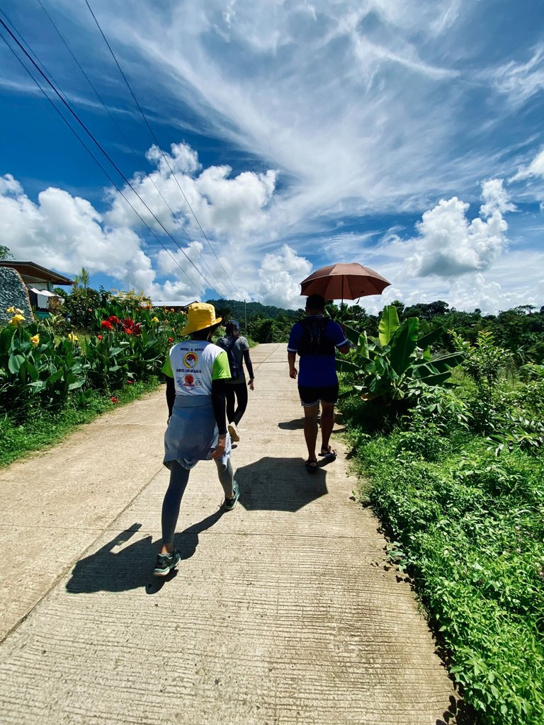
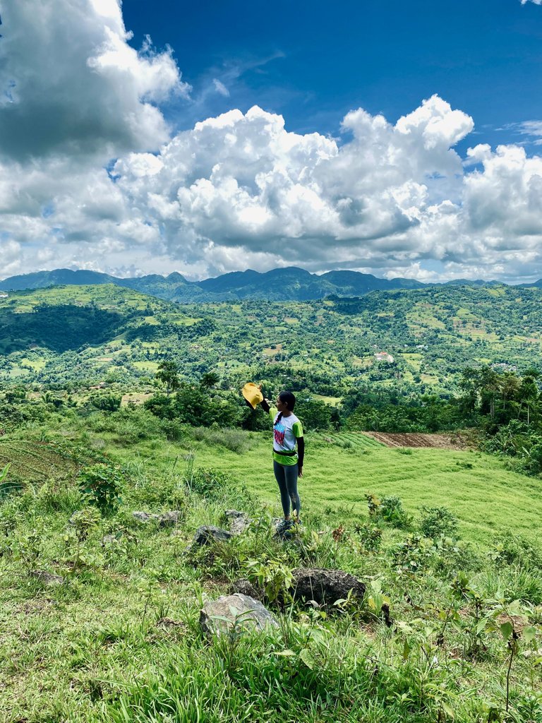
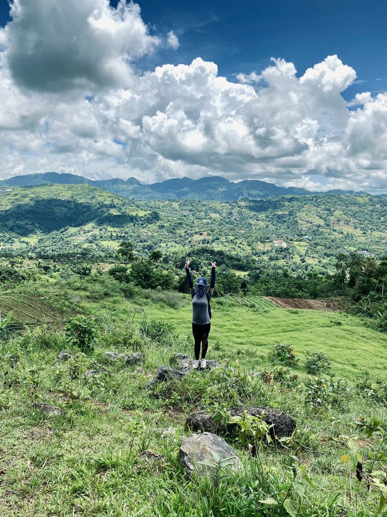
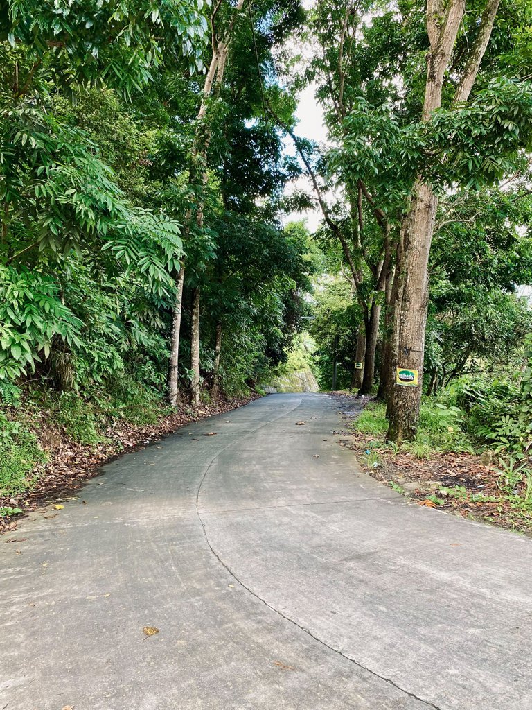
To reach there, we would mostly follow a cemented road and pass residential houses along the way.
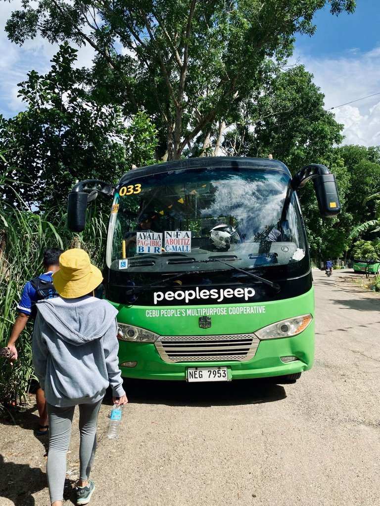
We chose to exit at Brgy. Guba due to the availability of transportation. Whenever we hike, we always consider paths that allow us to save time and money. From Guba, there's a bus route that goes directly to Ayala Terraces, making it incredibly convenient.
Our day hike in Budlaan to Guba reminded us of the wonders of nature and the joy of exploration. Until my next adventure! Ciao
About the Author
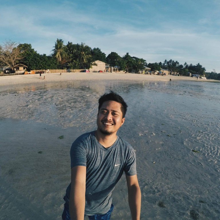
Meet Kevin de Arca, a Data Analyst by profession and an adventurous wanderer at heart. With a passion for exploring new places and cultures, he uses traveling as a way of distressing and making unforgettable memories. He is always wondering where to wander next.✈️ 🏖 🌅
Congratulations, your post has been added to Pinmapple! 🎉🥳🍍
Did you know you have your own profile map?
And every post has their own map too!
Want to have your post on the map too?
Wow! The falls, the greenery, and all were so enticing. What a delightful experience bro. Have safe travels and more!
!PIZZA
$PIZZA slices delivered:
@pinkchic(3/5) tipped @kev.incredible
Hiya, @choogirl here, just swinging by to let you know that this post made it into our Honourable Mentions in Daily Travel Digest #1925.
Your post has been manually curated by the @pinmapple team. If you like what we're doing, please drop by to check out all the rest of today's great posts and consider supporting other authors like yourself and us so we can keep the project going!
Become part of our travel community:
Thanks for dropping by @choogirl 🙏🙏🙏
Spotted man ang kamang2x sa aunchie oy. Babag to Budlaan nasad ser arc! Hehe
Taod2x nasad wala ka Babag ba hmmm
Na-feel nako ang kainit sa mga pictures ba hahaha
Haha arte ser