The View from Mount Wellington (Kunanyi)
In this post I showed you the landscape on the top of the Mount Wellington, which is a 'mountain' (I don't know the difference between a mount and a mountian, other than mounts are shorter, but it seems to be a pretty big scope to work in I know Mounts - i.e. Mount Waverley, Mount Eliza which are barely more than hills yet Mount Wellington is 1,271 metres high) but as I mentioned in that post the reason you drive to the top of Mount Wellngton, which is just above Hobart in Tasmania is for the views.
I should mention here that Mount Wellington is the white settlers name for this - named in 1832 after Duke of Wellington (the dude who defeated Napoleon at Waterloo, inspiring the most famous Eurovision winning song ever) The aboriginal name is Kunanyi, or maybe ungyhaletta or poorawetter or pooranetere or pooranetteri I guess this is the issue when you are dealing with a verbal only language, where different indigenous groups call it different things - also difficult when you have killed them all so there aren't too many people around to tell you if you are right.
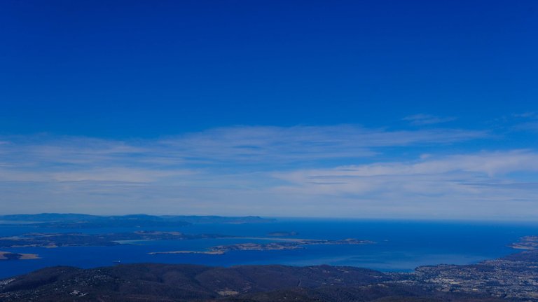
But back to the views. We were lucky to have a wonderful clear Autumn day - just a little bit of haze.
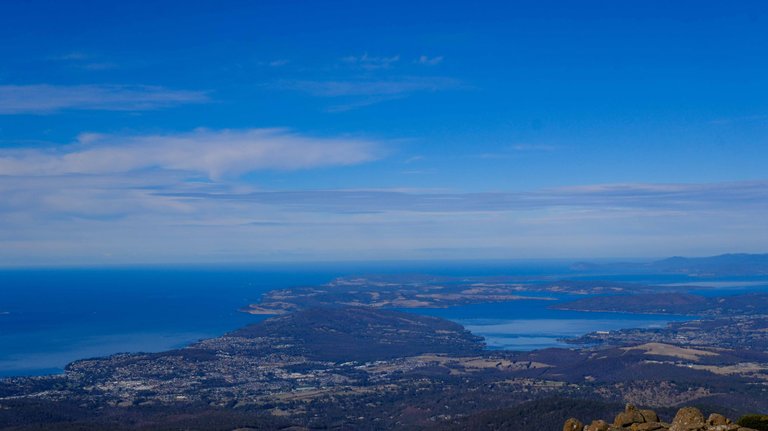
Let's start with the view south on the cost is the southern end of the suburbs of hobart and then looking down towards Bruny island in the middle. For those non Australia trying to place Tasmania on a map - head stright into the middle of this photo and keep going and you are passing nothing but 4000 odd kilometres of water and then you'll hit Antartica
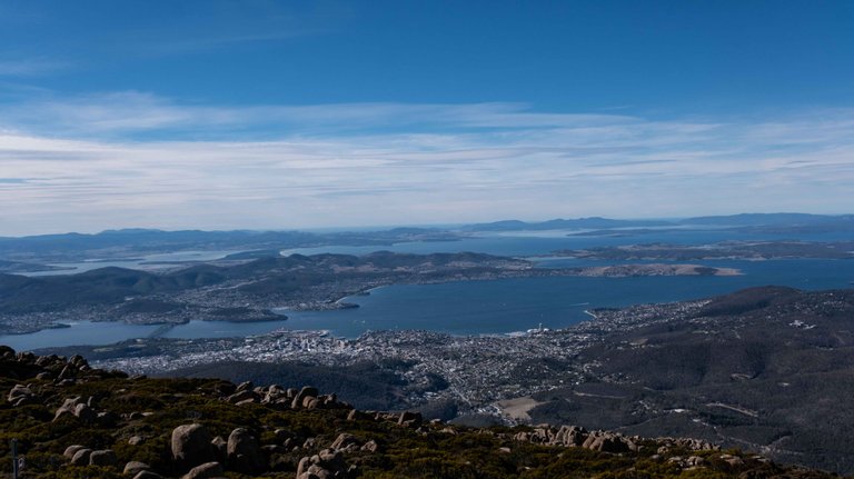
This is Hobart, I know itr doesn't look huge from up here, and that because it's not - Only about 250,000 people live there, as you can see the house hug the coast in the lowlands, and it's beautiful.
I think this is Bruny Island, but I could be wrong, as you can see there are quite a lot of inlets and islands and what not around here so it gets confusing.
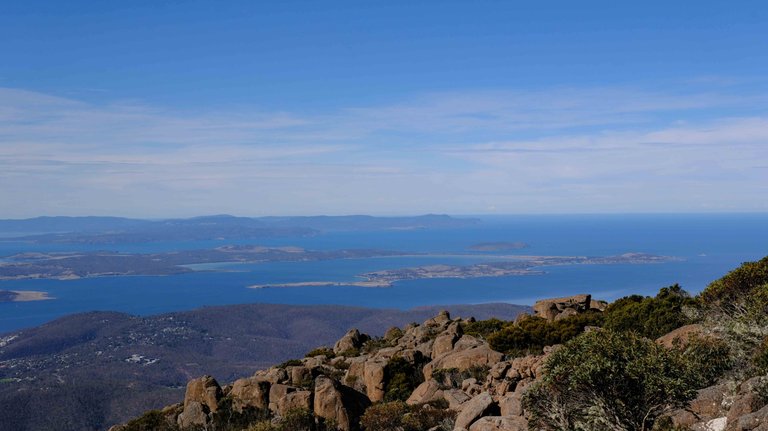
More Southern views, the beauty of this is hard to show in picture.
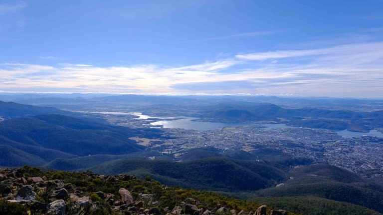
This is looking north and east, as the Derwent river continues inland and the suburbs squeeze between the river and the hills, as you can see the development in mainly on the near bank. One reason - there are only about 3 bridges across that river in the distance of about 25km.
If you find yourself in Hobart and you anything approaching a clear day, and you have a car then drive up to Mount Wellington, I assume you you won't be disappointed, and you start to understand the geogrpahy of Hobart so much better.