Hiking in Elbow River Provincial Park
There are so many beautiful hikes to do in Alberta Parks, we never have to do the same one twice. This time we chose to hike in the Elbow River Provincial Park foothills which are less than an hour drive from Calgary. There were two elements to this hike, a flat part that followed a river, then up trails into the hills which are popular with mountain bikers.
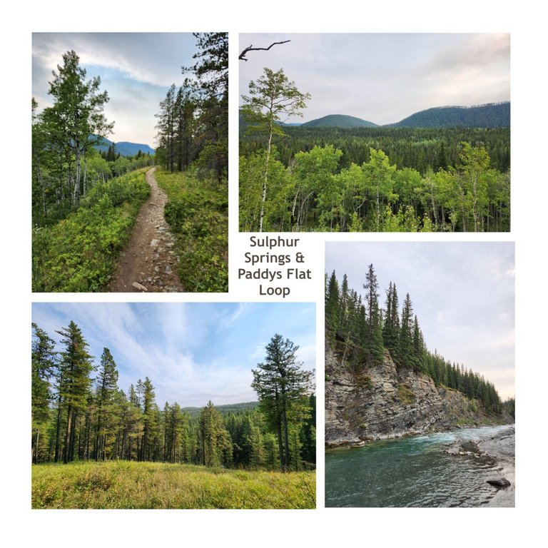
We started the hike a couple kilometers up Moose Mountain Road, in the aptly named 2k lot and went along the loop in a clock-wise direction. The trail is relatively easy to find and is well-marked. There are often bikers along the trail, so we made sure to give them plenty of space, especially along downhill sections.

One can never grow tired of the views up here. Not everyone likes to climb to the top of a mountain, you're exposed and it can be terrifying so for the non-thrill seeking type, the foot hills will do just fine.
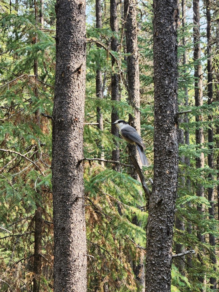
Birding is popular around here. This one was very friendly and came so close we were able to snap a great pic with just an s22 phone. Birding is an activity I could find myself getting into. Does anyone know what this species of bird is called?
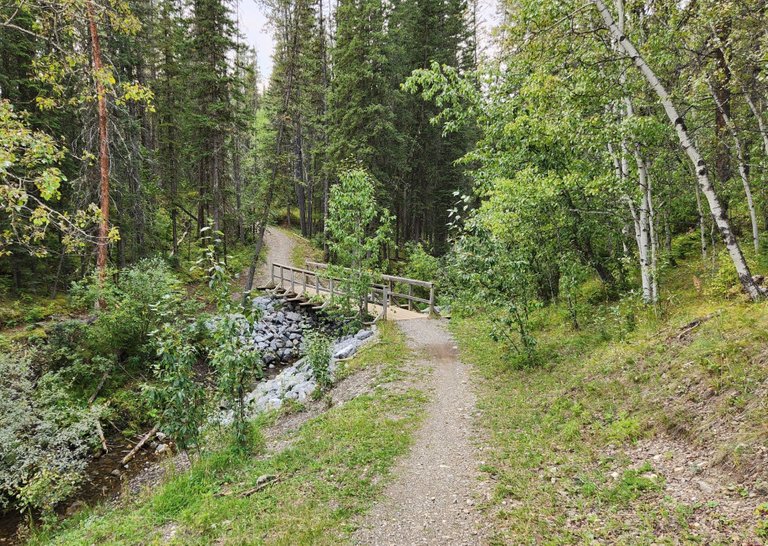
This bridge is near the start of the trail, we started halfway through it. Ahead follows the highway and was not the best part of the hike until you cross the road and go down towards the Elbow River.
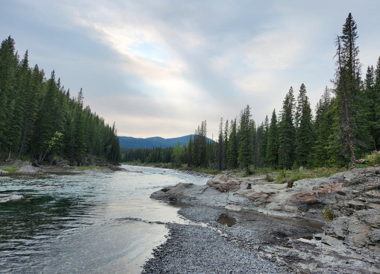
Here it is, late summer it's low, so we followed the bed for a few kilometers. There is a camp site along here and the water is glacier and spring fed. Many people spend the day along its banks, but we are more of the active type. Swimming would be cold on all but the hottest of days.
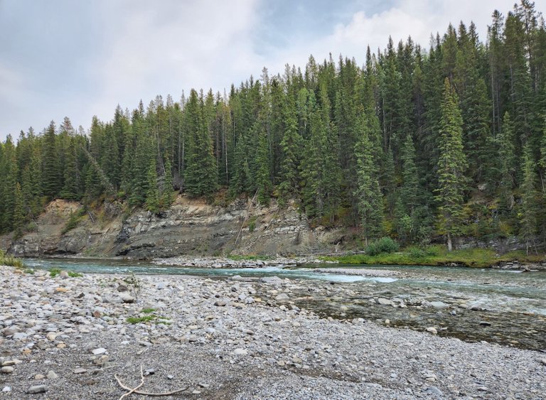
This is where we stopped for lunch. I'm very particular about where to eat on a hike, it has to be somewhere pleasant with great scenery. Often it's with a mountain view but today the river was just fine.
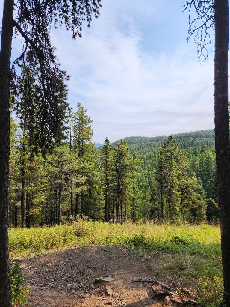
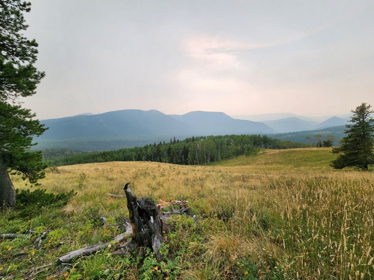
We started to ascend back up the hill. The sky was filled with smoke from forest fires hundreds of miles away in a neighbouring province. Don't start fires, they ruin our perfect view!

Crossing the highway again we continued our ascent into the foothills. On a clear day the mountains would be very visible behind the hills. It was still epic.
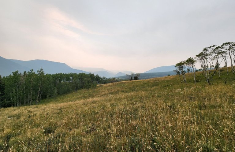
This scenery looks like the plains down in Africa. We've never been but it's easy to picture giraffes eating the leaves off the top of the trees to the right and herds of animals off in the distance. Cows grace freely here along with wild animals one might expect in the foothills of the Canadian Rockies.
We took many photos to share with everyone and to keep as memories. Hiking has become one of our favourite activities and soon we will be pros. If anyone knows a great hike in the area, please do share!
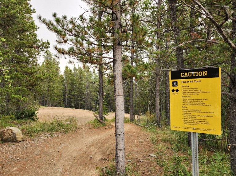
They have ramps, jumps, hills and Mountain Biking is very popular here. The Double Diamond Flight 66 Trail sounds like a good place to pick up the hobby. Maybe next summer.
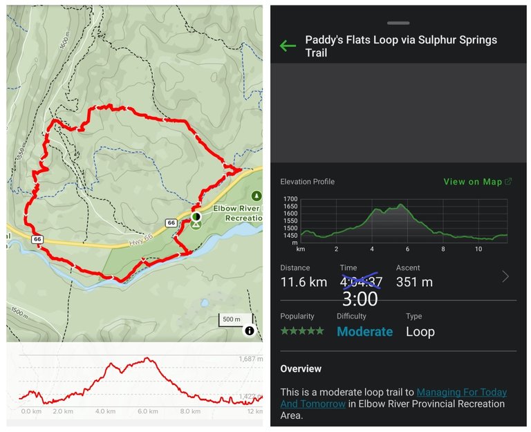
Here's a map of our journey and the approximate difficulty. We use GAIA GPS https://www.gaiagps.com/hike/251494/paddys-flats-loop-via-sulphur-springs-trail/ to map out routes. It would not take 4 hours, we stopped for lunch, took many photos, and it completed this in about 3.
Happy Trails ;)
Congratulations, your post has been added to Pinmapple! 🎉🥳🍍
Did you know you have your own profile map?
And every post has their own map too!
Want to have your post on the map too?
These hikes must be very nice, the kind I like!!!
Western Canada has many beautiful places to hike
Congratulations, your post has been added to Pinmapple! 🎉🥳🍍
Did you know you have your own profile map?
And every post has their own map too!
Want to have your post on the map too?